USGS Groundwater Information
|
USGS Groundwater Information > August 1, 2016 Highlights USGS Monthly Groundwater News and Highlights: August 1, 2016Featured Product: Effects of aquifer storage and recovery activities on water quality![[ Photo of the City of Wichita's Equus Beds Aquifer Storage and Recovery Phase II river intake structure near Sedgwick, Kansas. ]](images/feature/20160801_Witchita-river-intake.jpg "Photo of the City of Wichita's Equus Beds Aquifer Storage and Recovery Phase II river intake structure near Sedgwick, Kansas.")
The City of Wichita's Equus Beds Aquifer Storage and Recovery Phase II river intake structure near Sedgwick, Kansas. Public domain Water quality on the Little Arkansas River and in the Equus Beds aquifer has not substantially changed since 2007 recharge activities began in the Equus Beds aquifer, according to a new USGS study in cooperation with the City of Wichita, Kansas. The Equus Beds aquifer is one of the primary water-supply sources for the city of Wichita. Groundwater pumping for municipal and irrigation needs and sporadic drought conditions have caused water-level declines that led to concerns about the adequacy of the future water supply for Wichita. For this reason, the City of Wichita developed the Equus Beds Aquifer Storage and Recovery (ASR) project. Scientists with the USGS looked at water-quality characteristics two years before (January 2011 through April 2013) and two years after (May 2013 through December 2014) Phase II of the aquifer recovery activities started. Researchers examined water chemistry, biology and habitat health on the Little Arkansas River, as well as the water quality of groundwater in the Equus Beds aquifer. Findings showed that the ASR did not substantially impact water quality. Learn more: Project Web Site: Equus Beds Aquifer Storage and Recovery (ASR) project USGS Groundwater-Related Press Releases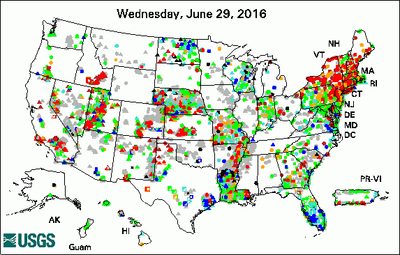 
The USGS Active Groundwater Level Network includes about 20,000 wells that have been measured by the USGS or USGS cooperators at least once within the past 13 months. The animation shows a daily snapshot of water-level statistics in the network for July 2016. Credit: USGS. The image is in the public domain. Groundwater Discharge to Upper Colorado River Basin Varies in Response to Drought (July 20, 2016) Water Quality Nearly Unchanged by Artificial Recharge Activities in Wichita (July 18, 2016) Cape Cod susceptible to potential effects of sea-level rise (July 12, 2016)
USGS Groundwater-Related PublicationsWater resources of Livingston Parish, Louisiana Water resources of St. Helena Parish, Louisiana Water resources of Tangipahoa Parish, Louisiana Time-varying land subsidence detected by radar altimetry: California, Taiwan and north China Contrasting nitrogen fate in watersheds using agricultural and water quality information Potential corrosivity of untreated groundwater in the United States Geologic context of recurring slope lineae in Melas and Coprates Chasmata, Mars Baseline assessment of groundwater quality in Wayne County, Pennsylvania, 2014
USGS Groundwater-Related Software Updates and New ReleasesField Photo: Seepage MetersDid you know that in many places, groundwater flows into streams? One tool scientists use to measure this discharge of groundwater into a stream is called a seepage meter. In this photo, USGS hydrologist Don Rosenberry is removing a seepage meter from a stream. Rosenberry, along with USGS hydrologist Geoff Delin (also pictured) were teaching a training class of other USGS hydrologists how to properly use the tool. A seepage meter consists of a bottomless cylinder formed from an inverted drum or bucket connected to a collection bag by a length of tubing. The device is pushed into the bed of a lake or stream, and a collection bag with a known volume of water is attached. The collection bag is then removed after a period of elapsed time, and the rate of vertical groundwater flux through the area enclosed by the seepage meter is calculated from the increase or decrease in the initial volume of water, the length of time elapsed, and the area of the seepage meter, yielding flux rates in units of length/time. An increase in the initial volume indicates a positive vertical flux rate (groundwater to surface water), and a decrease in initial volume indicates a negative vertical flux rate (surface water to groundwater). (Source: USGS Scientific Investigations Report 2007-5216) 
Credit: USGS/C.B. Dawson. Photo is in the public domain. Click on photo for larger version. Archive of Past Highlights: |
![]() U.S. Department of the Interior |
U.S. Geological Survey
U.S. Department of the Interior |
U.S. Geological Survey
URL: http://water.usgs.gov/ogw/highlights/2016-08-01.html
Page Contact Information: Contact the USGS Office of Groundwater
Page Last Modified: Monday, 01-Aug-2016 13:11:30 EDT
