USGS Groundwater Newsletter
USGS Monthly Groundwater News and Highlights: August 3, 2020Subscribe to get the latest USGS groundwater news and science sent to your inbox every month! Feature: Groundwater age and susceptibility of south Atlantic and Gulf Coast principal aquifersThe USGS recently completed a study to estimate groundwater age in the south Atlantic and Gulf Coast principal aquifer systems. Groundwater was relatively old across the aquifer systems, with estimated ages ranging from 17 years to greater than 50,000 years, and a mean age of about 30,000 years. Estimates of groundwater age were related to hydrogeology, with increasing groundwater ages associated with greater depth, confinement, and distance from the recharge zone. These groundwater age distributions were then used to calculate metrics of susceptibility to land surface and geogenic contamination sources, which can be used by resource managers and policy makers to inform assessments of well susceptibility to contamination. ![[Schematic diagram of method for estimating probable high groundwater levels ]](images/feature/2020-08_Solder2020-Fig7a.png "Map of estimated mean groundwater ages in the south Atlantic and Gulf Coast aquifer systems")
Figure: Map presenting estimated mean groundwater ages from principal aquifer study well networks in the south Atlantic and Gulf Coast aquifer systems, USA. Source: Figure 7a, Solder, 2020. 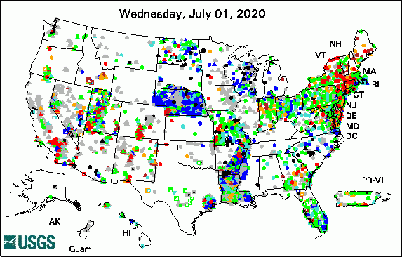 
The USGS Active Groundwater Level Network includes about 20,000 wells that have been measured by the USGS or USGS cooperators at least once within the past 13 months. The animation shows a daily snapshot of water-level statistics in the network for July 2020. Credit: USGS. The image is in the public domain. USGS Groundwater-Related PublicationsGeochemical assessment of the Hueco Bolson, New Mexico and Texas, 2016-17 (07/28/20) Hydrologic technician postcard (07/27/20) Toxicity and bioavailability of metals in the Missouri River adjacent to a lead refinery (07/03/20) Featured Map: Secondary Hydrogeologic RegionsMap showing the Secondary Hydrogeologic Regions (SHRs) of the conterminous United States. SHRs are areas outside of Principal Aquifers and within which the rocks or deposits are of comparable age, lithology, geologic or physiographic setting, and relationship to the presence or absence of underlying Principal Aquifers or overlying glacial deposits. ![[U.S. map with states shaded different colors based on groundwater withdrawal amounts. Refer to Dieter and others, 2018, for data.]](images/map/2020-08_SecondaryHydrogeoRegionsFig3.png "Secondary Hydrogeologic Regions")
Source: Figure 3, Belitz and others, 2018 (article); Fig 1, Belitz and others, 2018 (data release). Credit: USGS. Image is in the public domain. Field PhotoIn this photo, USGS intern Brett Trottier (right) is learning how to prepare and deploy geophysical equipment from USGS hydrologist Eric White (left). The towed transient electromagnetic (tTEM) system is used to map the shallow subsurface electrical resistivity to help us understand geologic and hydrogeologic conditions. In addition to the usual field safety procedures, Trottier and White are practicing COVID-19 safety measures including distancing and wearing face coverings during this July 2020 field work. Trottier's internship is part of the National Association of Geoscience Teachers (NAGT)/USGS Cooperative Summer Field Training Program. Established in 1965, the NAGT/USGS program is the longest continuously running internship program in the earth sciences. ![[Scientists preparing equipment attached to a four-wheel field vehicle]](images/field/2020-08_HGB_TTEM_ed.jpg "USGS intern prepares geophysical equipment")
Credit: USGS. Photo is in the public domain. Click on photo for larger version. Water Quality and COVID-19For the latest federal guidance on water quality and COVID-19, please refer to:
USGS priority is to continue the important work of the Department of the Interior and the USGS, while also maintaining the health and safety of our employees and community. Based on guidance from the White House, the CDC, and state and local authorities, we have shifted our operations to a virtual mode and have minimal staffing within our offices. These changes have also impacted recent and planned field work and field data collection activities. Archive of Past Highlights: |
![]() U.S. Department of the Interior |
U.S. Geological Survey
U.S. Department of the Interior |
U.S. Geological Survey
URL: https://water.usgs.gov/ogw/highlights/index.html
Page Contact Information: Contact the USGS WMA Earth System Processes Division
Page Last Modified: Friday, 07-Aug-2020 14:51:52 EDT
