Colorado River Basin Focus Area Study
U.S. Geological Survey National Water Census: Colorado River Basin Geographic Focus Area Study
WaterSMART—The Colorado River Basin Focus-Area Study
The Focus Area Study developed estimates of evapotranspiration for the Colorado River Basin at regional and field scales using remotely-sensed resources and ground-based verification measurements to inform Water Availability Studies and Water Use Assessments. Links to products and data from this study component are below.
Actual Evapotranspiration (Water Use) Assessment of the Colorado River Basin at the Landsat Resolution using the Operational Simplified Surface Energy Balance Model: Remote Sensing
Evaluating Landsat 8 evapotranspiration for water use mapping in the Colorado River Basin: Remote Sensing of the Environment

On the Downscaling of Actual Evapotranspiration Maps Based on Combination of MODIS and Landsat-Based Actual Evapotranspiration Estimates: Remote Sensing
The Focus Area Study developed regional snow water equivalent and sublimation estimates for the Colorado River Basin using moderate- and high-resolution gridded models and ground-based validation measurements to inform hydrologic modeling studies, water availability studies, and water use assessments. Links to products and data from this study component are below.
Evaluation of SNODAS snow depth and snow water equivalent estimates for the Colorado Rocky Mountains, USA: Hydrological Processes
Snow Sublimation in Mountain Environments and Its Sensitivity to Forest Disturbance and Climate Warming: Water Resources Research
Comparison of methods for quantifying surface sublimation over seasonally snow-covered terrain: Hydrological Processes
Increasing aeolian dust deposition to snowpacks in the Rocky Mountains inferred from snowpack, wet deposition, and aerosol chemistry: Atmospheric Environment
The Focus Area Study has improved regional databases of water-use information in the basin for the largest types of water uses (irrigation, public supply, mining, industrial and thermoelectric power generation) including incorporating satellite data sets, remote sensing technologies and models, geospatial datasets and mapping tools, and web-based statistical tools.
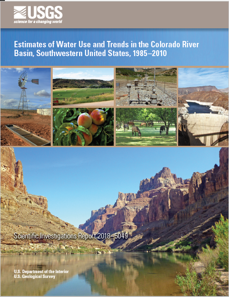
Estimates of water use and trends in the Colorado River Basin, Southwestern United States, 1985–2010
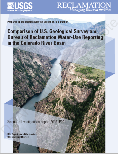
Comparison of U.S. Geological Survey and Bureau of Reclamation water-use reporting in the Colorado River Basin
The Colorado River Basin Focus Area Study has quantified and assessed the spatial distribution of groundwater discharge to streams and watersheds in the Upper Colorado River Basin. Links to the products and data from this study component are below.
Continuous estimation of baseflow in snowmelt-dominated steams and rivers in the Upper Colorado River Basin: A chemical hydrograph separation approach: Water Resources Research
Characterization of mean transit time at large springs in the Upper Colorado River Basin, USA—A tool for assessing groundwater discharge vulnerability: Hydrogeology Journal
Geospatial database of estimates of groundwater discharge to streams in the Upper Colorado River Basin
Regional scale estimates of baseflow and factors influencing baseflow in the Upper Colorado River Basin: Journal of Hydrology: Regional Studies
A new approach for continuous estimation of baseflow using discrete water quality data: Method description and comparison with baseflow estimates from two existing approaches: Journal of Hydrology
The importance of base flow in sustaining surface water flow in the Upper Colorado River Basin: Water Resources Research