USGS Groundwater Information
New & NoteworthyUSGS Groundwater WatchUSGS maintains a network of active wells to provide basic statistics about groundwater levels. ![USGS Groundwater Watch [Image: USGS active water level wells location map.]](http://groundwaterwatch.usgs.gov/sm_ogw.png)
USGS in Your StateUSGS Water Science Centers are located in each state. ![[Map: There is a USGS Water Science Center office in each State.]](/ogw/images/usmapsmall.gif)
Other USGS Water Science Areas |
USGS Groundwater Information > National Groundwater Awareness Week 2017 USGS Recognizes "National Groundwater Awareness Week," March 5-11, 2017The USGS joins our community partners, including the National Ground Water Association, in recognizing March 5-11, 2017, as National Groundwater Awareness Week because groundwater is important to all of us! USGS scientists work constantly to improve our understanding of how groundwater moves through the subsurface and what human and natural factors affect the quantity and quality of that groundwater. The tools, information, and data from USGS scientists are used every day by water-resource managers, regulators, policy makers, well operators, and others to make decisions about how best to protect our groundwater to meet current and future needs. Groundwater Modeling![Conceptual diagram of how a groundwater model is constructed. [Conceptual diagram of how a groundwater model is constructed.]](images/2014-pygwd-model.gif)
Groundwater modelers often begin with 3D layers representing the land surface and subsurface geology and add information about how water moves through each of the layers. Image: USGS/Brian Clark. One important tool USGS groundwater scientists use is groundwater modeling. A groundwater model is a simplified representation of a real groundwater system using mathematical equations that are solved by a computer program. Scientists use the models to organize their knowledge and understanding of groundwater systems, including water availability and contaminant movement. Groundwater models are used to help us understand past or current groundwater conditions and to forecast future conditions. For example, groundwater models may be used to:
The models can provide insights water-resources managers need to plan effectively for future water demands. Examples of USGS Groundwater ModelingA Geoprobe is used to gather data on soil characteristics, hydraulic conductivity, and bedrock depth along the Canadian River alluvial aquifer in Oklahoma. Data collected in the field aids in the development of conceptual and numerical models. Image: USGS/ Noel Osborn. Photo is in the public domain. USGS scientists use models to simulate groundwater conditions at different scales, both locally and regionally. A groundwater model may be very simple or could take years to develop, depending on its purpose. A few examples of recent USGS groundwater modeling include: Treasure Valley, Idaho: USGS is constructing a groundwater-flow model of Treasure Valley, Idaho, and the surrounding area to forecast how changes in water use may affect local groundwater availability. About 40 percent of the population of Idaho lives within the study area, and most of the residents depend on groundwater for their drinking water. The local population is projected to grow to 1.6 million by 2065, increasing demands for water. USGS is working in partnership with the Idaho Department of Water Resources, which can use the model to inform water resource planning and management decisions. Canadian River, Oklahoma: The USGS developed a groundwater-flow model of the Canadian River alluvial aquifer in Oklahoma to simulate the effects of estimated equal proportionate share (EPS) groundwater use on aquifer storage and streamflow for time periods of 20, 40, and 50 years into the future. The model was also used to simulate the effects of current groundwater use over a 50-year period into the future and to evaluate the effects of a sustained drought on water availability. Elkhorn-Loup Model, Nebraska: USGS scientists are developing the Elkhorn-Loup model to improve our understanding of groundwater availability, interaction of groundwater and surface water, and the effects of human-induced stresses on groundwater resources in a region of Nebraska covering about 30,800 square miles. The results of the USGS modeling can be used by local Natural Resources Districts and the Nebraska Department of Natural Resources to inform water-resources management and planning decisions. USGS Groundwater Modeling Software
USGS Groundwater Model DataAs of October 1, 2016, USGS releases the data for all of our groundwater modeling publications. These groundwater model Data Releases can be downloaded by cooperators and the public from data.gov. 
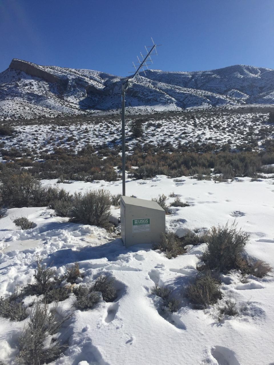
USGS Groundwater Site 380758115204601. Credit: USGS/Hartley Delvalle. Photo is in the public domain. Click on photo for larger version. Stay Connected!You can stay connected with the latest USGS groundwater science in many ways: »Subscribe to our monthly USGS groundwater news and highlights »Get USGS news releases for your region or topics of interest to you. |