USGS Groundwater Information
USGS Monthly Groundwater News and Highlights: April 1, 2020Subscribe to get the latest USGS groundwater news and science sent to your inbox every month! Water Quality and COVID-19With recent public health concerns around COVID-19 (https://www.coronavirus.gov/), many people are asking about water quality and safety. For the latest federal guidance on water quality and COVID-19, please refer to:
USGS priority is to continue the important work of the Department of the Interior and the USGS, while also maintaining the health and safety of our employees and community. Based on guidance from the White House, the CDC, and state and local authorities, we are shifting our operations to a virtual mode and have minimal staffing within our offices. These changes have also impacted recent and planned field work and field data collection activities. Feature: Learning Resources![[ Water cycle diagram]](images/feature/2020-04-gip_146_poster_web_0.png "Water cycle diagram")
Water cycle poster for school and kids. Available for download online. Credit: USGS. With the temporary closure of many schools and universities and the shift to online and (or) home-based learning, many educators and families are looking for learning resources. Check out some these USGS resources that might be of interest!
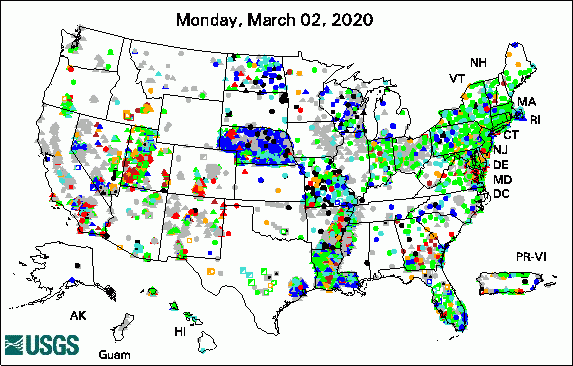 
The USGS Active Groundwater Level Network includes about 20,000 wells that have been measured by the USGS or USGS cooperators at least once within the past 13 months. The animation shows a daily snapshot of water-level statistics in the network for March 2020. Credit: USGS. The image is in the public domain. USGS Groundwater-Related PublicationsGroundwater quality in the Biscayne Aquifer, Florida (03/31/20) Groundwater Quality in the Ozark Plateaus Aquifer System, Central United States (03/31/20) Groundwater quality in the High Plains Aquifer (03/31/20) Water resources of Union Parish, Louisiana (03/19/20) Groundwater quality and geochemistry of West Virginia's southern coal fields (03/13/20) Borehole-scale testing of matrix diffusion for contaminated-rock aquifers (03/02/20) Water withdrawals, uses, and trends in Florida, 2015 (03/02/20) USGS Groundwater Flow and Transport Model Data ReleasesField PhotoMore than 43 million people in the U.S. (about 15 percent of the population) rely on domestic wells as their source of drinking water. As part of USGS studies to understand local, regional, and national groundwater conditions, homeowners have allowed USGS to measure groundwater levels or collect water samples in their private wells. In the top photo shown here, USGS hydrologist Matt Conlon prepares to collect a groundwater sample from a well in Pennsylvania. In the second photo, USGS biologist Robin Brightbill prepares a water-quality sample collected from another domestic well in Pennsylvania. Learn more about USGS Pennsylvania Water Science Center groundwater activities or explore USGS groundwater data in Pennsylvania. ![[ Photo of USGS scientist connecting tubing to a well ]](images/field/2020-04_USGSPAWSC_IMGP1065.JPG "Photo of USGS scientist connecting tubing to a well")
Credit: USGS. Photo is in the public domain. Click on photo for larger version. ![[ Photo of USGS scientist handling water samples ]](images/field/2020-04_USGSPAWSC_IMGP1162.JPG "Photo of USGS scientist handling water samples")
Credit: USGS. Photo is in the public domain. Click on photo for larger version. Archive of Past Highlights: |
![]() U.S. Department of the Interior |
U.S. Geological Survey
U.S. Department of the Interior |
U.S. Geological Survey
URL: http://water.usgs.gov/ogw/highlights/2020-04.html
Page Contact Information: Contact the USGS Office of Groundwater
Page Last Modified: Wednesday, 01-Apr-2020 17:54:06 EDT
