USGS Groundwater Information
|
USGS Groundwater Information > November 1, 2019 USGS Monthly Groundwater News and Highlights: November 1, 2019Subscribe to get the latest USGS groundwater news and science sent to your inbox every month! ![[ Map of study area surficial geology and structural features. ]](images/feature/20191101_PP1854_fig1.jpg "Map of study area surficial geology and structural features.")
Map of surficial geology and structural features of the Ozark Plateaus aquifer system and boundary conditions for the numerical model of the Ozark Plateaus aquifer system. Source: Figure 1, Clark and others, 2019. Feature: Groundwater availability in the Ozark Plateaus aquifer systemThe USGS began a study in 2014 to evaluate fresh groundwater resources within the Ozark Plateaus, an area of about 68,000 square miles in the central United States in parts of Missouri, Arkansas, Kansas, and Oklahoma. This study focused on multiple spatial and temporal scales to examine changes in groundwater pumping, storage, and water-level declines. Three scenarios were developed to simulate possible future conditions from 2016 to 2060. The results of this study can be used by local and regional resource mangers to inform water management and policy decisions. 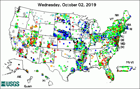 
The USGS Active Groundwater Level Network includes about 20,000 wells that have been measured by the USGS or USGS cooperators at least once within the past 13 months. The animation shows a daily snapshot of water-level statistics in the network for October 2019. Credit: USGS. The image is in the public domain. USGS Groundwater-Related PublicationsThe 'Ike Wai Hawai'i groundwater recharge tool (10/30/19) Groundwater and surface-water resources near Red Fleet Reservoir, Uintah County, Utah (10/23/19) Groundwater availability in the Ozark Plateaus aquifer system (10/23/19) Estimated use of water in Georgia for 2015 and water-use trends, 1985-2015 (10/17/19) Water for Long Island: Now and for the future (10/08/19) Regionalization of groundwater residence time using metamodeling (10/02/19) Anderson Ranch wetlands hydrologic characterization in Taos County, New Mexico (10/03/19) Water resources on Guam -- Potential impacts of and adaptive response to climate change (10/01/19) Core Science Systems -- Mission overview (10/03/19) USGS Groundwater Flow and Transport Model Data ReleasesSUTRA model used to evaluate the freshwater flow system for a future (2080-2099) climate on Guam MODFLOW-NWT model of groundwater flow in the Ozark Plateaus aquifer system, version 1.1 Field PhotoIn this photo, USGS Hydrologic Technician Sam Banas performs a site inspection at a USGS soil moisture and continuous groundwater well monitoring site. The USGS monitors groundwater wells that are part of USGS studies around the Nation. You can view or download data from these active USGS groundwater sites from the USGS National Water Information web site. The well in this photo is USGS site 424250072493101 MA-HNW 14 in Heath, Massachusetts, and is managed by the USGS New England Water Science Center. ![[ Photo of scientist inspecting equipment in the field. Ground is covered with snow, and there is a USGS truck in the background. ]](images/field/20191101_Banas_site424250072493101.jpg "Photo of scientist inspecting equipment in the field.")
Credit: USGS. Photo is in the public domain. Click on photo for larger version. Archive of Past Highlights: |
![]() U.S. Department of the Interior |
U.S. Geological Survey
U.S. Department of the Interior |
U.S. Geological Survey
URL: http://water.usgs.gov/ogw/highlights/2019-11-01.html
Page Contact Information: Contact the USGS Office of Groundwater
Page Last Modified: Monday, 04-Nov-2019 15:47:43 EST
