USGS Groundwater Information
|
USGS Groundwater Information > April 2, 2019 USGS Monthly Groundwater News and Highlights: April 2, 2019Subscribe to get the latest USGS groundwater news and science sent to your inbox every month! ![[ Screenshot of Southern High Plains Hydrogeologic Data Explorer potentiometric contours layer ]](images/feature/20190401_SSLViewer_PotContourAndFlowDirection_20190315.png "Screenshot of Southern High Plains Hydrogeologic Data Explorer potentiometric contours layer")
Screenshot of Southern High Plains Hydrogeologic Data Explorer potentiometric contours layer for the Ogallala aquifer from 2015. Source: USGS Press Release, 3/22/2019. Feature: Downloading and Visualizing USGS Groundwater DataThe USGS is committed to making data used in our published scientific studies publicly available. The public can access and download USGS groundwater information including:
USGS strives constantly to improve our online data release and visualization tools. For example, USGS recently released a new interactive viewer to visualize groundwater resources in Gaines, Terry, and Yoakum Counties, Texas. Using the online tool, groundwater users, resource managers and scientists, can view data on groundwater levels, water-quality conditions, hydrogeologic unit extents, changes in groundwater conditions over time, and more. For an overview of the new tool, view the recent press release. USGS Groundwater-Related Press Releases and Technical AnnouncementsOnline Tool Illustrates Groundwater Resources in Texas Panhandle (3/22/2019) 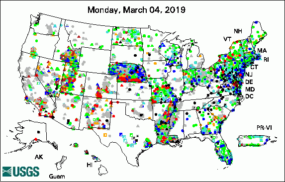 
The USGS Active Groundwater Level Network includes about 20,000 wells that have been measured by the USGS or USGS cooperators at least once within the past 13 months. The animation shows a daily snapshot of water-level statistics in the network for March 2019. Credit: USGS. The image is in the public domain. USGS Groundwater-Related PublicationsThe Missouri groundwater-level observation network (03/25/19) Constraining the oxygen isotopic composition of nitrate produced by nitrification (03/14/19) Geomorphic survey of North Fork Eagle Creek, New Mexico, 2017 (03/15/19) Adjudicating groundwater: A judge's guide to understanding groundwater and modeling (03/19/19) Water use in Louisiana, 2015 (03/01/19)
Field PhotoDid you know USGS uses geophysics to study groundwater? Hydrogeophysical tools can provide data that USGS scientists use to improve our understanding of groundwater levels, groundwater quality, and the structure of the ground below us. In these photos, USGS scientists from Texas are preparing geophysical tools as part of recent groundwater studies. The data were used to improve the spatial coverage of available information and to reduce uncertainty regarding hydrogeologic unit extents. The results provided a refined understanding of how the saturated thickness of the Ogallala and Edwards-Trinity aquifers vary throughout the study area, as summarized in a USGS article and in a new online USGS data viewer for the Southern High Plains study area. In the top photo, a scientist is collecting time-domain electromagnetic soundings. In the bottom photo, scientists are setting up the nuclear magnetic resonance (NMR) geophysical logging cable to collect information from a groundwater well. ![[ Photo of scientist operating equipment in a corn field ]](images/field/20190401_IMG_2937.JPG "Photo of scientist operating equipment in a corn field")
Credit: USGS/Andy Teeple. Photo is in the public domain. Click on photo for larger version. ![[ Photo of USGS scientists setting up equipment to log a groundwater well ]](images/field/20190401_TXnmr.jpg "Photo of USGS scientists setting up equipment to log a groundwater well")
Credit: USGS/Kurt Kraske. Photo is in the public domain. Click on photo for larger version. Archive of Past Highlights: |
![]() U.S. Department of the Interior |
U.S. Geological Survey
U.S. Department of the Interior |
U.S. Geological Survey
URL: http://water.usgs.gov/ogw/highlights/2019-04-01.html
Page Contact Information: Contact the USGS Office of Groundwater
Page Last Modified: Tuesday, 02-Apr-2019 18:18:13 EDT
