USGS Groundwater Information
|
USGS Groundwater Information > December 01, 2017 Highlights USGS Monthly Groundwater News and Highlights: December 01, 2017Subscribe and get the latest USGS groundwater news and science sent to your inbox every month! Featured Product: Small unoccupied aircraft systems (sUAS) applications for identifying groundwater-surface water exchange in a meandering river reachThe application of small unoccupied aircraft systems (sUAS), aka "drones", for examining groundwater/surface-water exchange represents the next step in the application of remote sensing to environmental systems, bridging "on the ground" and satellite-based scales. In a recent USGS study with University partners, visible and near infrared multispectral sUAS imagery were successfully used to improve analysis of river gradient and hyporheic exchange along a section of the East River near Crested Butte, Colorado. The sUAS data were analyzed in conjunction with in situ fiber-optic distributed temperature sensing (FO-DTS) data; streamflow, temperature, and fluid conductivity measurements; and heads in shallow piezometers. The study demonstrated that application of sUAS for hydrologic investigations offers the potential to develop spatially distributed watershed data at low cost and at high spatial and temporal resolution. ![Map: Temperature data overlaid on orthomoasic basemap of meandering river [ Map: Temperature data overlaid on orthomoasic basemap of meandering river ]](images/feature/2017-12-01_GRL-Fig3.jpg)
Fiber-optic distributed temperature sensing data are shown on georeferenced sUAS imagery with 21-day mean (a) and standard deviation (b) of streambed interface temperatures. The larger red symbols in panel (b) indicate discrete thermally buffered zones that may indicate meander bend hyporheic return flows. Source: Figure 3 from Pai and others, 2017. Figure is in the public domain. USGS Groundwater-Related Press Releases 
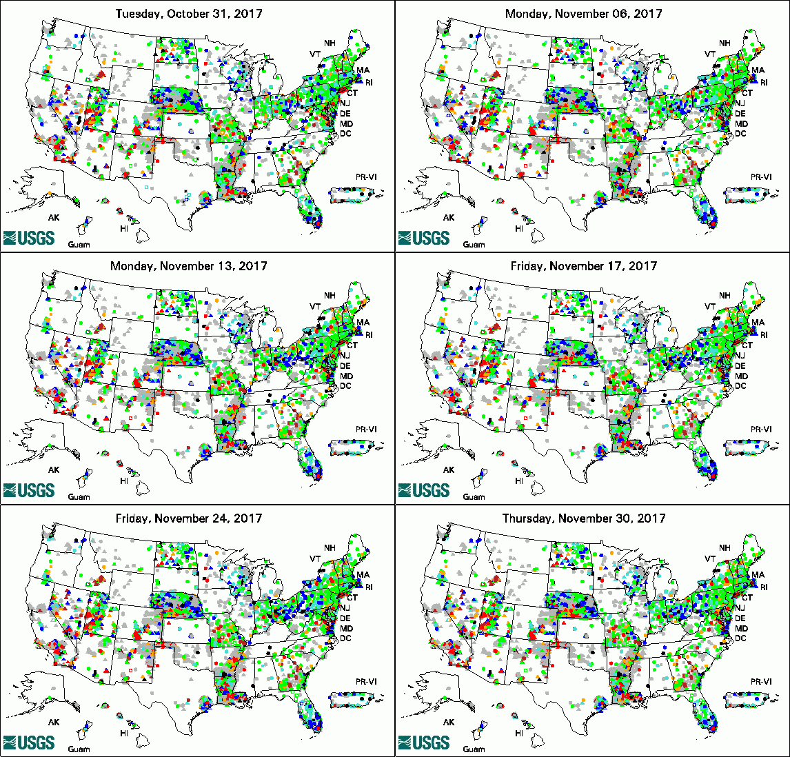
The USGS Active Groundwater Level Network includes about 20,000 wells that have been measured by the USGS or USGS cooperators at least once within the past 13 months. The animation shows a daily snapshot of water-level statistics in the network for November 2017. Credit: USGS. The image is in the public domain. Mexico's Yucatan Peninsula Reveals a Cryptic Methane-Fueled Ecosystem in Flooded Caves (11/28/2017) USGS Groundwater-Related Publications
USGS Groundwater-Related Software Updates and New Releases
USGS Groundwater Flow and Transport Model Data ReleasesNote: The following links take you to data.gov Field PhotoDid you know groundwater is a major source of water to streams, lakes, and wetlands in the United States? The USGS Upper Midwest Water Science Center is studying how groundwater pumping could be affecting where and how much groundwater is flowing into Wolf Creek near Vestaburg, Michigan. In this photo you can see two tools USGS scientists are using in the Michigan study. The boxes are seepage meters, which capture groundwater flowing up through the bottom of the Creek to measure the amount and rate of groundwater discharging into the Creek at that location. The blue fiber optic cable on the left side of the photo measures temperature along the stream bed, to help scientists locate temperature differences that could be a result of groundwater flowing into the Creek. To learn more about this topic, view a fact sheet on effects of groundwater pumping on streamflow. Archive of Past Highlights: |