USGS Groundwater Information
|
USGS Groundwater Information > August 11, 2017 Highlights USGS Monthly Groundwater News and Highlights: August 11, 2017Subscribe and get the latest USGS groundwater news and science sent to your inbox every month! Featured Product: USGS Scenario Evaluator for Electrical Resistivity (SEER)Today's environmental site managers have many tools to choose from when conducting site characterization and remediation.The new USGS Scenario Evaluator for Electrical Resistivity (SEER) is a quick and simple tool practitioners can use to assess the likely outcome of using two-dimensional electrical resistivity imaging for site characterization and remediation monitoring. Geophysical tools can provide noninvasive ways to see inside the earth, much like how medical imaging lets us see inside the human body. Electrical resistivity imaging is a widely used geophysical method for environmental site management studies. SEER is a spreadsheet-based tool that allows the user to simulate conceptual site models for electrical resistivity imaging. Learn more about SEER or download the free tool. USGS Groundwater-Related Press Releases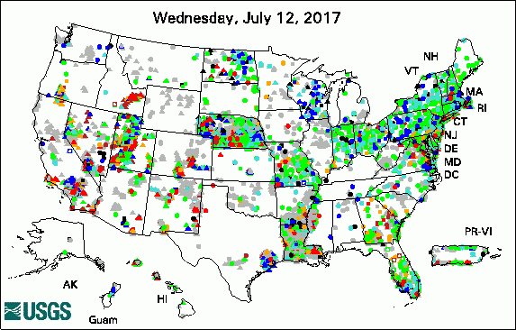 
The USGS Active Groundwater Level Network includes about 20,000 wells that have been measured by the USGS or USGS cooperators at least once within the past 13 months. The animation shows a daily snapshot of water-level statistics in the network for the previous 30 days. Credit: USGS. The image is in the public domain.
USGS Groundwater-Related PublicationsKnowing requires data (07/24/17) The saltiest springs in the Sierra Nevada, California (07/20/17) Land subsidence in the southwestern Mojave Desert, California, 1992-2009 (07/24/17) Brackish groundwater and its potential to augment freshwater supplies (07/19/17)
Field Photos![[ Photo: Scientist operates equipment at a well. ]](images/field/20170811_TXWSC-2.JPG "Photo: Scientist operates equipment at a well")
Credit: USGS. Photo is in the public domain. In these recent photos, USGS hydrologist Jason Ramage collects groundwater level and quality data from the Jasper aquifer near Houston, Texas. The Houston-Galveston region represents one of the largest areas of land-surface elevation change, or subsidence, in the United States. Land subsidence is a gradual settling or sudden sinking of the Earth's surface as a result of movement of subsurface earth materials. Most of the land subsidence in the Houston-Galveston region has occurred as a direct result of groundwater withdrawals for municipal supply, commercial and industrial use and irrigation. A new interactive USGS web application illustrates how groundwater, sediment compaction and land-elevation change are related in the Houston-Galveston region in Texas. This new tool can help resource managers make informed decisions on water usage.Want to learn more? Explore this new online USGS tool about subsidence in the Houston-Galveston region. ![[ Photo: Scientist operates equipment in a truck. ]](images/field/20170811_TXWSC-IMG_0007.JPG "Image: Photo: Scientist operates equipment in a truck.")
Credit: USGS. Photo is in the public domain. Click on photo for larger version. Archive of Past Highlights: |
![]() U.S. Department of the Interior |
U.S. Geological Survey
U.S. Department of the Interior |
U.S. Geological Survey
URL: http://water.usgs.gov/ogw/highlights/2017-08-11.html
Page Contact Information: Contact the USGS Office of Groundwater
Page Last Modified: Monday, 14-Aug-2017 01:23:50 EDT
