USGS Groundwater Information
|
USGS Groundwater Information > June 1, 2017 Highlights USGS Monthly Groundwater News and Highlights: June 1, 2017Subscribe and get the latest USGS groundwater news and science sent to your inbox every month! Featured Product: Thermal effect of climate change on groundwater-fed ecosystems![[ Map: Medicine Lake highlands study area. ]](images/feature/20170601_Burns2017-wrcr22589.jpg "Map: Medicine Lake highlands study area.")
Map of the Medicine Lake highlands study area. Source: Figure 1, Burns and others, 2017. USGS scientists, in partnership with scientists at universities, developed tools that natural resource managers can use to forecast the effect of climate change on groundwater temperature at springs and seeps that support critical habitat. Using these tools, scientists identified important processes that control the long-term thermal response of springs and other groundwater discharge to climate change. Groundwater temperature changes will lag surface temperature changes from a changing climate. The rate of change of groundwater temperature can vary by decades depending on local hydrogeologic conditions. View the journal article. USGS Groundwater-Related Press Releases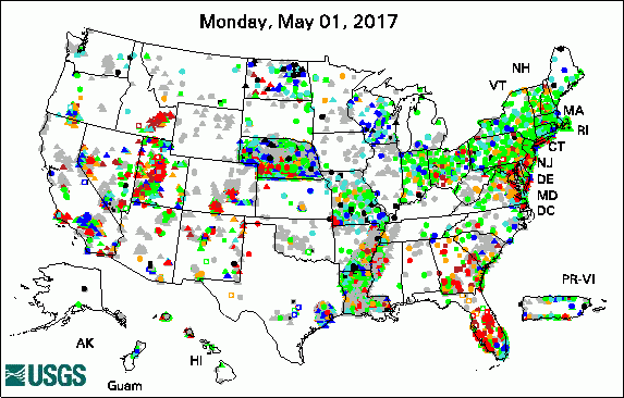 
The USGS Active Groundwater Level Network includes about 20,000 wells that have been measured by the USGS or USGS cooperators at least once within the past 13 months. The animation shows a daily snapshot of water-level statistics in the network for May 2017. Credit: USGS. The image is in the public domain. Unconventional Oil and Gas Production Not Currently Affecting Drinking Water Quality (05/31/17) President Proposes $922 Million FY18 Budget for USGS (05/23/17) High Levels of Radon Found in Some Wells Across Pennsylvania (05/11/17) The Complex Dynamics of Geyser Eruptions (05/10/17)
USGS Groundwater-Related PublicationsScenario Evaluator for Electrical Resistivity survey pre-modeling tool (05/31/17) Measuring surface-water loss in Honouliuli Stream near the 'Ewa Shaft, O'ahu, Hawai'i (05/31/17) Can beaches survive climate change? (05/26/17) Thermal effect of climate change on groundwater-fed ecosystems (05/19/17) Carbon cycling in the mantled karst of the Ozark Plateaus, central United States (05/24/17) Development of a coastal drought index using salinity data (05/09/17) Science programs in Kansas (05/09/17) Arsenic and uranium in private wells in Connecticut, 2013-15 (05/03/17) Guidelines for preparation of State water-use estimates for 2015 (05/02/17)
USGS Groundwater-Related Software Updates and New ReleasesUSGS Groundwater Flow and Transport Model Data ReleasesNote: The following links take you to data.gov Field PhotosDid you know we can use scientific equipment on planes and helicopters to study groundwater? During the first week of May 2017 USGS scientists used an airborne electromagnetic induction (AEM) tool flown by helicopter to study the Cedar River Aquifer near Cedar Rapids, Iowa. AEM is a geophysical method that enables scientists to see inside the earth, much like how medical imaging lets us see inside the human body. AEM data can help us understand:
USGS hydrologists will use the Cedar River Aquifer AEM data collected as they develop a three-dimensional model of the aquifer for the City. For more information about AEM data and groundwater modeling, learn about how USGS used AEM data in the development of a Sioux Falls groundwater flow model.  
Left: View of the helicopter towing the electromagnetic sensor. 
USGS scientist Eddie Haj explores the inside of the helicopter. The large box behind Haj is the control unit for the AEM sensor. Credit: USGS/Marisa Lubeck. Photo is in the public domain. Click on photo for larger version. Archive of Past Highlights: |
![]() U.S. Department of the Interior |
U.S. Geological Survey
U.S. Department of the Interior |
U.S. Geological Survey
URL: http://water.usgs.gov/ogw/highlights/2017-06-01.html
Page Contact Information: Contact the USGS Office of Groundwater
Page Last Modified: Thursday, 01-Jun-2017 15:53:33 EDT
