USGS Groundwater Information
|
USGS Groundwater Information > February 1, 2017 Highlights USGS Monthly Groundwater News and Highlights: February 1, 2017Subscribe and get the latest USGS groundwater news and science sent to your inbox every month! Featured Product: Maps and grids of hydrogeologic information of the glaciated United States![[ Map of contiguous 48 states and Alaska, indicating thickness of glacial deposits in the United States. ]](images/feature/20170201_sir20155105-fig6-web.jpg "Report cover.")
Thickness of glacial deposits in the United States. Source: Figure 6, USGS SIR 2015-5105. Credit: USGS. Image is in the public domain. At the request of Congress, the USGS is assessing the availability and use of the Nation's water resources. Water-well drillers' records may be the single largest source of data that are available to describe the geologic deposits of the subsurface. As part of the Glacial Aquifer System Groundwater Availability Study, the USGS used about 14 million records from State-managed collections of water-well drillers' records and created a database of hydrogeologic properties for the glaciated United States. Maps and geospatial grids were developed for
These maps are available for download by scientists, resource managers, and the general public as part of USGS efforts to support Federal open data initiatives. USGS Groundwater-Related Press Releases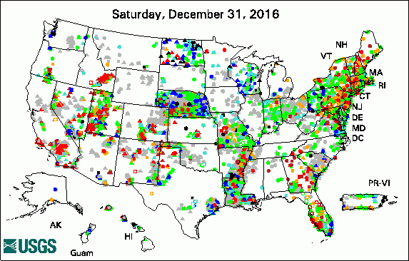 
The USGS Active Groundwater Level Network includes about 20,000 wells that have been measured by the USGS or USGS cooperators at least once within the past 13 months. The animation shows a daily snapshot of water-level statistics in the network for January 2017. Credit: USGS. The image is in the public domain. Groundwater Quality in the Northern Atlantic Coastal Plain Aquifer System (01/19/17) Groundwater Quality in the Southeastern Coastal Plain Aquifer System (01/19/17) Groundwater Quality in Eastern U.S. (01/19/17) The Quality of the Nation's Groundwater: Progress on a National Survey (01/19/17) Groundwater Quality in the West: Examining Basin and Range Basin-Fill Aquifers (01/19/17) Groundwater Quality in the Coastal Lowlands Aquifer System (01/19/17) USGS Scientist Wins Governor's Medal for Science and Technology (01/18/17)
USGS Groundwater-Related PublicationsWater resources of East Feliciana Parish, Louisiana (01/13/17) Water resources of Calcasieu Parish, Louisiana (01/13/17) Groundwater quality in the Coastal Lowlands aquifer system, south-central United States (01/26/17)
USGS Groundwater-Related Software Updates and New ReleasesCascade Routing Tool (CRT) v1.3
Field Photo: Studying Groundwater QualityDid you know the USGS has studied groundwater for over 100 years? With the opening of the west in the late 1860s and the emerging demand for groundwater for drinking supplies came the urgent need for systematic and scientific studies of groundwater resources. These early studies were concerned with understanding the occurrence and movement of water in aquifers that supplied flowing wells. In a flowing well, the pressure in the aquifer raises the groundwater in the well above ground level where it can be collected for use with little or no pumping. The establishment of the U.S. Geological Survey in 1879 resulted in the formation of a national organization that was to foster a strong interest in hydrogeology. In this historical photo, the USGS and U.S. Public Health Service are studying how bacteria in groundwater moves through the subsurface in order to help us understand steps needed to protect drinking water supplies. 
Credit: USGS/Norah Dewell. Photo is in the public domain. Click on photo for larger version. Archive of Past Highlights: |
![]() U.S. Department of the Interior |
U.S. Geological Survey
U.S. Department of the Interior |
U.S. Geological Survey
URL: http://water.usgs.gov/ogw/highlights/2017-02-01.html
Page Contact Information: Contact the USGS Office of Groundwater
Page Last Modified: Thursday, 02-Feb-2017 13:15:18 EST
