USGS Groundwater Information
|
USGS Groundwater Information > July 1, 2016 Highlights USGS Monthly Groundwater News and Highlights: July 1, 2016Featured Product: A Decadal Look at Groundwater Quality![[ Screenshot of USGS National Water-Quality Trends Map ]](images/feature/20160701-wq-trends-map.png "Screenshot of USGS National Water-Quality Trends Map")
USGS National Water-Quality Trends Map. This snapshot of the map indicates that increases in chloride concentrations were observed in thirty-one groundwater networks across the Nation. About 140 million people -- almost one-half of the Nation's population -- rely on groundwater for drinking water, and the demand for groundwater for irrigation and agriculture continues to increase. Tracking changes in groundwater quality and investigating the reasons for these changes is crucial for informing management decisions to protect and sustain our valuable groundwater resources. A new USGS interactive online map shows how concentrations of pesticides, nutrients, metals, and organic contaminants in groundwater are changing during decadal periods across the Nation. The online map presents decadal changes in 24 contaminants.
USGS Groundwater-Related Press Releases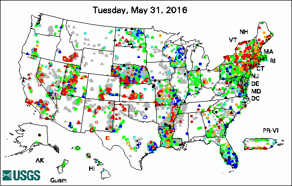 
The USGS Active Groundwater Level Network includes about 20,000 wells that have been measured by the USGS or USGS cooperators at least once within the past 13 months. The animation shows a daily snapshot of water-level statistics in the network for June 2016. Credit: USGS. The image is in the public domain. In Hot Water: Climate Change is Affecting North American Fish (June 29, 2016) New Groundwater-Flow Model for Idaho's Wood River Valley (June 28, 2016) Assessing Groundwater Over Time in Gaines, Terry and Yoakum Counties, Texas (June 21, 2016) Thawing Permafrost Spells More than Climate Change for Earth's Underground Layers (June 20, 2016) USGS Online Mapper Provides a Decadal Look at Groundwater Quality (June 2, 2016)
USGS Groundwater-Related PublicationsAssessing the relationship between groundwater nitrate and animal feeding operations in Iowa (USA) Groundwater-flow model for the Wood River Valley aquifer system, south-central Idaho Building groundwater modeling capacity in Mongolia Biological low pH Mn(II) oxidation in a manganese deposit influenced by metal-rich groundwater Volcanic aquifers of Hawai'i -- Hydrogeology, water budgets, and conceptual models Water resources of Washington Parish, Louisiana
USGS Groundwater-Related Software Updates and New ReleasesField Photo: Groundwater Studies in a Stream?Did you know that every summer, college students and recent graduates from across the Nation join the USGS as summer interns? In these photos from June 2016, two undergraduate college interns are deploying fiber-optic cable along the bed of a trout stream to measure temperature. This fiber-optic distributed temperature sensing system is being used by USGS scientists to identify areas where groundwater is discharging into the stream. During the summer, this groundwater is typically cooler than the stream water, lowering overall stream temperature, which is important for fish habitat and survival during warm periods. Understanding how groundwater discharge affects the stream temperature is important for state and local resource managers, providing information that can be used to inform decisions about stream restoration and protection of future viable fish habitat. 
Credit: USGS/C.B.Dawson. Photo is in the public domain. Click on photo for larger version. 
Credit: USGS/C.B.Dawson. Photo is in the public domain. Click on photo for larger version. Archive of Past Highlights: |
![]() U.S. Department of the Interior |
U.S. Geological Survey
U.S. Department of the Interior |
U.S. Geological Survey
URL: http://water.usgs.gov/ogw/highlights/2016-07-01.html
Page Contact Information: Contact the USGS Office of Groundwater
Page Last Modified: Friday, 01-Jul-2016 12:14:21 EDT
