USGS Groundwater Information
|
USGS Groundwater Information > February 1, 2016 Highlights USGS Monthly Groundwater News and Highlights: February 1, 2016Featured Product: Implications of projected climate change for groundwater recharge in the western United States![[ Diagrams of groundwater recharge mechanisms ]](images/feature/20160201_meixner.jpg "Diagrams of groundwater recharge mechanisms")
Figure 1. Conceptual illustration of four different recharge mechanisms under 20th century climate (a) and future climate (b). Refer to Meixner and others, 2016, for details. The consequences of climate change have been identified as major issues facing the availability of groundwater resources in the United States. Groundwater is among the Nation's most important natural resources. It provides half our drinking water and is essential to the vitality of agriculture and industry, as well as to the health of rivers, wetlands, and estuaries throughout the country. We need to understand how climate change can affect our groundwater resources so that water resource managers and policy makers can make informed decisions. A recent study co-authored by USGS scientists analyzed the potential impact of climate change on groundwater recharge across the western United States. Eight representative aquifers located across the region were evaluated. Several key patterns emerge from the analysis: First, the available estimates indicate average declines of 10-20 percent in total recharge across the southern aquifers, but with a wide range of uncertainty that includes no change. Second, the northern set of aquifers will likely incur little change to slight increases in total recharge. Third, mountain system recharge is expected to decline across much of the region due to decreased snowpack, with that impact lessening with higher elevation and latitude. To learn more, download and read this open access journal article for free. USGS Groundwater-Related Press Releases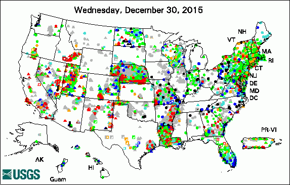 
The USGS Active Groundwater Level Network includes about 20,000 wells that have been measured by the USGS or USGS cooperators at least once within the past 13 months. The animation shows a daily snapshot of water-level statistics in the network for January 2016. Credit: USGS. The image is in the public domain. Mesilla Basin Microgravity Survey to Measure Aquifer Changes Visualize Your Water: A Citizen Science Challenge for High School Students Decreasing Streamflows in Southwest Kansas Likely Caused by Groundwater Withdrawals
USGS Groundwater-Related PublicationsThe Lassen hydrothermal system Will it rise or will it fall? Managing the complex effects of urbanization on base flow Functional metagenomic selection of RubisCOs from uncultivated bacteria Interannual to multidecadal climate forcings on groundwater resources of the U.S. West Coast Delineation of the Pahute Mesa-Oasis Valley groundwater basin, Nevada Hydrologic conditions in the South Coast aquifer, Puerto Rico, 2010-15 A fractured rock geophysical toolbox method selection tool Imaging pathways in fractured rock using three-dimensional electrical resistivity tomography Streamflow characteristics and trends at selected streamgages in southwest and south-central Kansas
USGS Groundwater-Related Software Updates and New ReleasesFractured Rock Geophysical Toolbox Method Selection Tool v1.00

USGS Groundwater Site 380758115204601. Credit: USGS/Hartley Delvalle. Photo is in the public domain. Click on photo for larger version. Field Photo:"Neither snow nor rain nor heat..." doesn't just apply to the U.S. Postal Service! USGS scientists conduct field work year-round in all sorts of conditions. This photo of a USGS groundwater observation well in Nevada was taken on January 26, 2016, by USGS HydroTech Hartley Delvalle. At nearly 800 feet to water, the Coal Valley well is one of the deeper wells where USGS publishes groundwater levels. USGS hydrologic technicians or scientists visit the site to measure depth to groundwater about every six weeks, year round. All tapedowns are made with a 1000-foot calibrated e-tape that is checked against a NIST-certified steel tape every year. Learn more: View groundwater-level statistics for this well Learn more about USGS water-resources information for Nevada Archive of Past Highlights: |
![]() U.S. Department of the Interior |
U.S. Geological Survey
U.S. Department of the Interior |
U.S. Geological Survey
URL: http://water.usgs.gov/ogw/highlights/2016-02-01.html
Page Contact Information: Contact the USGS Office of Groundwater
Page Last Modified: Monday, 01-Feb-2016 13:01:44 EST
