USGS Groundwater Information
|
USGS Groundwater Information > May 2015 Highlights USGS Monthly Groundwater News and Highlights![[ Screenshot of National Groundwater Monitoring Network data portal ]](/ogw/ngwaw/images/2015-NGWMN.jpg "National Groundwater Monitoring Network data portal")
Featured Product: National Groundwater Monitoring Network (NGWMN)Groundwater monitoring networks are operated by many Federal, State, Tribal, and local agencies, including the USGS. Even though groundwater monitoring is done in many places and at many scales, there is no ready access to the combined data at the national level and there are no standards that address consistent data structure and quality. The USGS is collaborating with the federal Advisory Committee on Water Information to address these gaps through initiatives such as the new National Groundwater Monitoring Network (NGWMN). Hosted by the USGS, the NGWMN is a compilation of selected groundwater monitoring wells from Federal, State, and local groundwater monitoring networks across the Nation. The NGWMN Data Portal provides easy online access to groundwater data from multiple, dispersed databases hosted by the various agencies. As of May 2015, the NGWMN includes data from at least 2,831 groundwater wells across 32 states and 48 principal aquifers. USGS Groundwater-Related Publications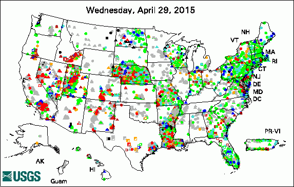 
The USGS Active Groundwater Level Network includes than 20,000 wells that have been measured by the USGS or USGS cooperators at least once within the past 13 months. The animation shows a daily snapshot of water-level statistics in the network over a period of about 30 days. Credit: USGS. The image is in the public domain. Groundwater flow in the Brunswick/Glynn County area, Georgia, 2000-04 Groundwater quality in the Cascade Range and Modoc Plateau, California USGS Groundwater-Related Press ReleasesHeat Accelerates Dry in California Drought The Chemistry of Waters that Follow from Fracking: A Case Study Water Quality in Equus Beds Aquifer Minimally Affected by Artificial Recharge Assessing the State of San Pedro Water Resources USGS Groundwater-Related Software Updates and New Releases Photo Credit: USGS/C.B. Dawson. The photo is in the public domain. Field Photo:A group of USGS Pathways and National Association of Geoscience Teachers (NAGT) interns gathered in Connecticut in May 2015 for hands-on field training on geophysical tools and methods used for USGS groundwater studies. In this photo, interns from the the USGS New England Water Science Center and the USGS Office of Groundwater, Branch of Geophysics collected ground-penetrating radar (GPR). Interns will be applying the methods they learned at USGS field sites across the Nation. |
![]() U.S. Department of the Interior |
U.S. Geological Survey
U.S. Department of the Interior |
U.S. Geological Survey
URL: http://water.usgs.gov/ogw/highlights/2015-06-01.html
Page Contact Information: Contact the USGS Office of Groundwater
Page Last Modified: Thursday, 29-Dec-2016 20:21:18 EST
