Water Resources of the United States


[an error occurred while processing this directive]

Flood Policies and Procedures

USGS National Flood Plan
WMA Policy Memo 2016.01
WMA Flood Response Policy
Flood AEP Computation:
Project Alert Form:
More policies and procedures...  

Regional and Local Flood Alerts

PROJECT ALERT NOTICE (OH) Extreme drought in southeastern Ohio
Tue, 27 Aug 2024 11:42:19 EDT
Extreme drought is affecting most of southeastern Ohio
PROJECT ALERT NOTICE (GA NC SC) SAWSC Flood Response TS Debby
Sat, 10 Aug 2024 20:23:48 EDT
Flooding continues across portions of the Carolinas and Georgia in the wake of Debby with high flow measurements ongoing.
PROJECT ALERT NOTICE (AK GA NC SC) Impacts of Debby: SAWSC (UPDATE 4)
Fri, 09 Aug 2024 16:12:49 EDT
Flooding continues across portions of the Carolinas and Georgia in the wake of Debby with high flow measurements ongoing.
PROJECT ALERT NOTICE (PA) Flood response in PA
Fri, 09 Aug 2024 10:30:49 EDT
Strong storms from Debby are bringing moderate to heavy rain, strong winds, across Central Pennsylvania since late Thursday night/early Friday morning.
PROJECT ALERT NOTICE (GA NC SC) Impacts of Debby: SAWSC (UPDATE 3)
Thu, 08 Aug 2024 18:12:36 EDT
High flow measurements are ongoing across portions of Georgia and the Carolinas as flood conditions continue as a result of the heavy rainfall from Tropical Storm Debby.
FULL ALERT LISTING

State-based Flood Information

There is a USGS Water Science Center office in each State. Alabama Arkansas Georgia Illinois Indiana Kansas Louisiana Montana North Carolina North Dakota Oklahoma South Carolina Tennessee Wyoming Texas Alaska Arizona California Caribbean Colorado Connecticut Florida Hawaii Idaho Iowa Kentucky Maine Maryland-Delaware-D.C. Massachusettes Michigan Minnesota Mississippi Missouri Nebraska Nevada New Hampshire New Jersey New Mexico New York Ohio Oregon Pennsylvania Rhode Island South Dakota Utah Vermont Virginia Washington West Virginia Wisconsin

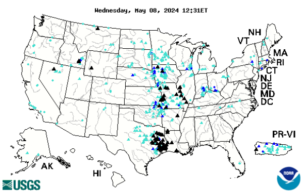
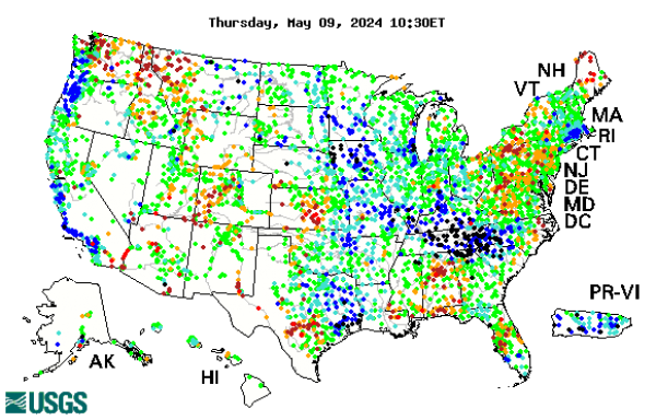
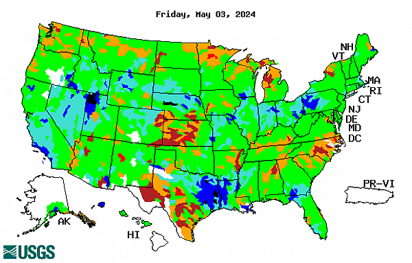
Click the map above to visit a State-specific flood page (if available), or check out one of these State flood databases:


Colorado Flood Database

Oklahoma Flood Database

USGS Contact Information

For questions related to this site or to contribute content, please email TODD KOENIG or BOB HOLMES.

USGS Flood Information   

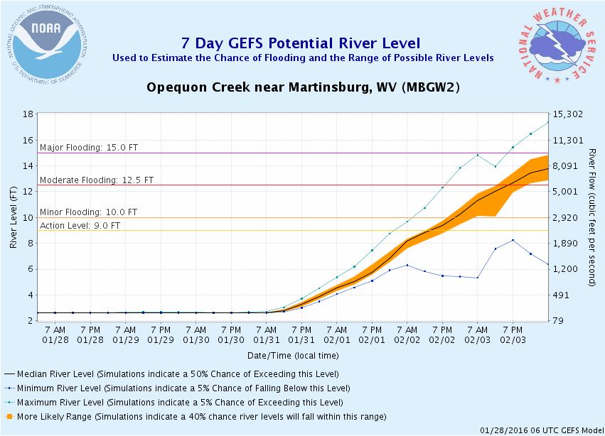
The USGS provides practical, unbiased information about the Nation's rivers and streams that is crucial in mitigating hazards associated with floods. This site provides information about the USGS activities, data, and services provided during regional high-flow events, such as hurricanes or multi-state flooding events. The USGS response to these events is typically managed by the National Floods Specialist.

The INTERNAL flood page is a dashboard for quick viewing of flood-related activity as well as important links to flood policies (below). Click any image for more details or scroll down for policies and other resources. Link to Event Support Map (current events only)

USGS heads-up display

NOAA/NWS heads-up display

USGS Flood Policies

Flood Procedures

Tri-Agency Fusion Team Links:

Additional Flood Resources


For questions related to this site or to contribute content, please email Todd Koenig or Bob Holmes at the USGS Office of Surface Water.

This web page is currently being served by a NatWeb Webserver in IGSAWS910SVPWE1.GS.DOI.NET. ()

USGS Home Core Science Ecosystems Energy and Minerals Environmental Health Land Resources Hazards Water

Accessibility FOIA Privacy Policies and Notices

U.S. Department of the Interior | U.S. Geological Survey

URL: https://water.usgs.gov/floods/usgs/

Page Contact Information: Water Webserver Team
Page Last Modified: Friday, 10-May-2019 17:20:11 EDT