USGS Groundwater Information
|
USGS Groundwater Information > August 1, 2019 USGS Monthly Groundwater News and Highlights: August 1, 2019Subscribe to get the latest USGS groundwater news and science sent to your inbox every month! ![[ Generalized conceptual diagram presenting different hydrogeologic zones for study area lake. Refer to caption for complete description. ]](images/feature/20190801_jgrg21434-fig-0009-m.jpg "Generalized conceptual diagram presenting different hydrogeologic zones for study area lake")
Diagrammatic interpretation of a groundwater contaminant plume discharging into a freshwater lake. Source: Figure 9, Smith and others, 2019. Feature: Seasonal and Spatial Variation in the Location and Reactivity of a Nitrate-Contaminated Groundwater Discharge Zone in a LakebedA recent USGS study examined what happens to nitrate, a primary wastewater contaminant in groundwater, as contaminated groundwater flows upward into the bottom of a freshwater lake. The Ashumet Pond study area on western Cape Cod, Massachusetts, has been a focal point of more than three decades of study by the USGS Toxic Substances Hydrology Program of contaminant fate and transport in shallow groundwater in granular aquifers. Nitrate can serve as a fertilizer within Ashumet Pond, causing a decrease in the quality of the lake water and potentially contributing to the growth of harmful algae. Groundwater nitrate discharged into the lake primarily near the lake shore, but the location of the discharge moved as the lake level rose and fell. The study showed that rapid flow through the lake-bottom sediments limited the time for biogeochemical nitrate removal to occur. 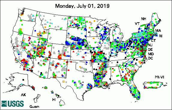 
The USGS Active Groundwater Level Network includes about 20,000 wells that have been measured by the USGS or USGS cooperators at least once within the past 13 months. The animation shows a daily snapshot of water-level statistics in the network for July 2019. Credit: USGS. The image is in the public domain. USGS Groundwater-Related PublicationsBaseline groundwater hydrology and water quality in and around Bluff, Utah (07/31/19) Water resources of East Carroll Parish, Louisiana (07/16/19)
USGS Groundwater Flow and Transport Model Data ReleasesField PhotoUSGS is evaluating the current and long-term availability of groundwater resources at the U.S. Army Fort Irwin National Training Center (NTC) in California. Results of USGS studies can be used by the Army to inform NTC resource planning, including management of drinking water supplies and wastewater. In this photo, USGS Hydrologist Krishangi Groover lays a cable as part of geophysical surveys at Fort Irwin in July 2019. The geophysical data will be used to improve understanding of current groundwater conditions and to assess groundwater recharge rates. Learn more about USGS California Water Science Center groundwater studies at Fort Irwin. ![[ Photo of scientist deploying yellow cable in the field ]](images/field/20190801_FortIrwin_ERT_July2019.jpg "Photo of scientist deploying yellow cable in the field")
Credit: USGS/Jill Densmore-Judy. Photo is in the public domain. Click on photo for larger version. Archive of Past Highlights: |
![]() U.S. Department of the Interior |
U.S. Geological Survey
U.S. Department of the Interior |
U.S. Geological Survey
URL: http://water.usgs.gov/ogw/highlights/2019-08-01.html
Page Contact Information: Contact the USGS Office of Groundwater
Page Last Modified: Wednesday, 31-Jul-2019 15:08:01 EDT
