USGS Groundwater Information
|
USGS Groundwater Information > November 01, 2017 Highlights USGS Monthly Groundwater News and Highlights: November 01, 2017Subscribe and get the latest USGS groundwater news and science sent to your inbox every month! Featured Product: Groundwater-level trends in the U.S. glacial aquifer system, 1964-2013A recent USGS study analyzed groundwater-level trends in the U.S. glacial aquifer system from 1963 to 2013. This aquifer system is present in parts of 25 states and is a major source of water supply. However, our understanding of historical groundwater trends across the system was lacking. This new information can be used by local and regional policy makers and water resource managers in the study area to inform planning for future water needs. ![[ Map: Geographic distribution of trends in mean annual groundwater levels of the U.S. glacial aquifer system from 1984 to 2013 ]](images/feature/20171101-fig.jpg "Map: Geographic distribution of trends in mean annual groundwater levels of the U.S. glacial aquifer system from 1984 to 2013")
Geographic distribution of trends in mean annual groundwater levels of the U.S. glacial aquifer system from 1984 to 2013; (a) all qualifying wells (including wells with both low human-influence potential and high human-influence potential) and assuming data series independence; (b) wells with low influence potential and assuming data series independence. Source: Figure 1 from Hodgkins and others, 2017. Figure is in the public domain. USGS Groundwater-Related Press Releases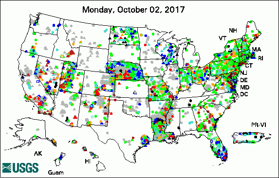 
The USGS Active Groundwater Level Network includes about 20,000 wells that have been measured by the USGS or USGS cooperators at least once within the past 13 months. The animation shows a daily snapshot of water-level statistics in the network for October 2017. Credit: USGS. The image is in the public domain. Study Estimates about 2.1 Million People using Wells High in Arsenic USGS Groundwater-Related PublicationsPublic supply and domestic water use in the United States, 2015 (10/30/17) Groundwater-level trends in the U.S. glacial aquifer system, 1964-2013 (10/25/17) Groundwater development stress: Global-scale indices compared to regional modeling (10/23/17) Simulation of groundwater and surface-water flow in the upper Deschutes Basin, Oregon (10/23/17) Forecast first: An argument for groundwater modeling in reverse (10/17/17) Model parameters for representative wetland plant functional groups (10/08/17) Groundwater declines are linked to changes in Great Plains stream fish assemblages (10/26/17) Hypogene caves of the central Appalachian Shenandoah Valley in Virginia (10/03/17)
USGS Groundwater-Related Software Updates and New Releases
USGS Groundwater Flow and Transport Model Data ReleasesNote: The following links take you to data.gov GSFLOW model of the upper Deschutes Basin, Oregon MODFLOW2000 model used to simulate the groundwater flow of the Denver Basin Aquifer System, Colorado MODFLOW-NWT model of a hypothetical stream-aquifer system to assess capture map bias Field PhotoBorehole nuclear magnetic resonance (NMR) is an emerging geophysical method being applied to groundwater investigations. In this photo, USGS scientists are conducting a pilot test of borehole NMR at the Armargosa Desert Research Site in Nevada to measure changes in water content in the ground. The borehole NMR tool (yellow tool with black cable) is shown in a narrow well (short white PVC casing) at the study site. Borehole NMR can help scientists characterize the advancement of contamination spills in arid settings. This is important information environmental site managers need to inform decisions about how to respond to contaminated sites to protect human health and the environment. You can learn more about borehole NMR in our new overview video. ![[ Photo: Borehole geophysical tool in well in the desert. ]](images/field/20171101-NMR-ADRS.jpg "Photo: Borehole geophysical tool in well in the desert.")
Credit: USGS/Carole Johnson. Photo is in the public domain. Click on photo for larger version. Archive of Past Highlights: |
![]() U.S. Department of the Interior |
U.S. Geological Survey
U.S. Department of the Interior |
U.S. Geological Survey
URL: http://water.usgs.gov/ogw/highlights/2017-11-01.html
Page Contact Information: Contact the USGS Office of Groundwater
Page Last Modified: Wednesday, 01-Nov-2017 15:33:01 EDT
