USGS Groundwater Information
|
USGS Groundwater Information > January 03, 2017 Highlights USGS Monthly Groundwater News and Highlights: January 03, 2017Subscribe and get the latest USGS groundwater news and science sent to your inbox every month! Featured Product: New Tool for Assessing Water Availability in Northern High Plains Aquifer![[ Diagram of study area. ]](images/feature/20170101_sir20165153-cover-ed.jpg "Report cover.")
USGS scientists recently completed a new groundwater-flow model of the Northern High Plains Aquifer in Colorado, Kansas, Nebraska, South Dakota, and Wyoming. A groundwater flow model is a computer program used to simulate or forecast regional groundwater flow conditions over time, including changes in water levels. Scientists use these models to organize their knowledge and understanding of groundwater systems. The new USGS Northern High Plains aquifer regional groundwater availability model is now available for use by federal, state and local agencies to inform the evaluation and design of existing and new groundwater monitoring networks and other water-resource management decisions. Learn more: USGS Groundwater-Related Press Releases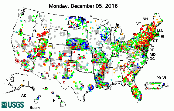 
The USGS Active Groundwater Level Network includes about 20,000 wells that have been measured by the USGS or USGS cooperators at least once within the past 13 months. The animation shows a daily snapshot of water-level statistics in the network for December 2016. Credit: USGS. The image is in the public domain. USGS Releases Results of Gem County Groundwater Quality Study (12/21/16) Crossing Borders for a Secure Water Future: US-Mexico San Pedro River Aquifer Report (12/20/16) Agencies Begin Work on Treasure Valley Groundwater-Flow Model (12/19/16) How Much Water Do We Use? (12/14/16) Long days, fresh ideas, and new connections (12/08/16) EarthView: Saudi Wheat Experiment Relied on Fossil Water (12/03/16)
USGS Groundwater-Related PublicationsScience to support the understanding of Ohio's water resources, 2016-17 (12/19/16) Groundwater conditions in Georgia, 2012-14 (12/07/16) USGS Colorado Water Science Center bookmark (12/06/16)
USGS Groundwater Flow and Transport Model Data ReleasesField Photo: Studying Groundwater QualityIn this photo a USGS hydrologist collects a water sample from a residential well in Emmett, Idaho, after receiving permission from the homeowner. The entire population of southwestern Idaho's Gem County depends on aquifers for its drinking water. The sample was analyzed as part of a water-quality study the USGS conducted in cooperation with Gem County, Idaho, and the Idaho Department of Environmental Quality. The results of the Gem County, Idaho, groundwater quality study were recently released. For more USGS groundwater science in Idaho, visit the USGS Idaho Water Science Center online. 
Credit: USGS/Jim Bartolino. Photo is in the public domain. Click on photo for larger version. Archive of Past Highlights: |
![]() U.S. Department of the Interior |
U.S. Geological Survey
U.S. Department of the Interior |
U.S. Geological Survey
URL: http://water.usgs.gov/ogw/highlights/2017-01-01.html
Page Contact Information: Contact the USGS Office of Groundwater
Page Last Modified: Tuesday, 03-Jan-2017 18:54:11 EST
