Delaware River Basin Focus Area Study
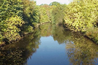
The Water Availability Tool for Environmental Resources provides a decision support system to examine different land-cover forecasts and climate projections using physical aspects of the basin that will remain unchanged, like topography and soil properties, to estimate streamflow for ungaged streams.
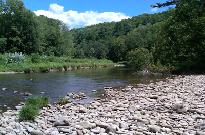
The Delaware River Basin Streamflow Estimator Tool (DRB-SET) uses historical records of streamflow to estimate daily mean streamflow at any stream location within the Delaware River Basin for the period 1960-2010, incorporating basin characteristics such as drainage size, soil, geology, and seasonal precipitation.

Water-use data were compiled or estimated for 8-digit and 12-digit Hydrologic Unit Code watersheds for 2010. Water withdrawal, interbasin transfers, return flow, and hydroelectric power generation release data were compiled for 11 water-use categories.
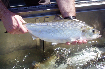
The Riverine Environmental Flow Decision Support System (REFDSS), models of river temperature, and evaluation of methods of determining Habitat Suitability Criteria were all products of this component.