
|
|
||||||||||||||
| If using Internet Explorer, right click on and use the "Save Target As" function to directly | ||||||||||||||
| download .doc, .jpg and .xls files | ||||||||||||||
| Site ID: 73 | Pomme De Terre River at CR 22 near Fairfield, MN | |||||||||||||
| File Name | Description | |||||||||||||
| CR22PDT.doc | MS Word summary of site, bridge and scour data | |||||||||||||
| CR22PDT.xls | Contains the following worksheets: {cross sections are label by location upstream (us) or downstream (ds) distance from bridge; date or source (bp is bridge plans)} | |||||||||||||
| us500_bp | ||||||||||||||
| us70_7-15 | ||||||||||||||
| us50_7-15 | ||||||||||||||
| us50_7-15(2) | ||||||||||||||
| usfv_bp | ||||||||||||||
| us0_4-4 | ||||||||||||||
| us0_4-5 | ||||||||||||||
| us0_4-9 | ||||||||||||||
| us0Q_4-5 | ||||||||||||||
| us0Q_4-9 | ||||||||||||||
| us0Q_7-15 | ||||||||||||||
| lsrtww_4-9 - longitudinal section along the right wing wall | ||||||||||||||
| lsp1p2_7-15 - longitudinal section between piers 1 and 2 | ||||||||||||||
| ds0_4-4 | ||||||||||||||
| ds0_4-5 | ||||||||||||||
| ds0_7-15 | ||||||||||||||
| dsfv_bp | ||||||||||||||
| ds10_4-9 | ||||||||||||||
| ds15_4-5 | ||||||||||||||
| ds20_4-9 | ||||||||||||||
| ds25_4-4 | ||||||||||||||
| ds40_4-5 | ||||||||||||||
| ds50_4-4 | ||||||||||||||
| ds50_4-9 | ||||||||||||||
| ds50_7-15 | ||||||||||||||
| ds80_4-5 | ||||||||||||||
| ds80_4-5(2) | ||||||||||||||
| ds90_4-9 | ||||||||||||||
| ds100_4-4 | ||||||||||||||
| ds100_7-15 | ||||||||||||||
| ds500_bp | ||||||||||||||
| Q4-5-97- velocities from discharge measurement on 4-5-97 | ||||||||||||||
| Q4-9-97 - velocities from discharge measurement on 4-9-97 | ||||||||||||||
| Q7-15-97 - velocities from discharge measurement on 7-15-97 | ||||||||||||||
| Hydrograph - hydrograph from nearest gage | ||||||||||||||
| PDT22-brgpln-profile.jpg | Profile plot from bridge plan, includes bed material information. | |||||||||||||
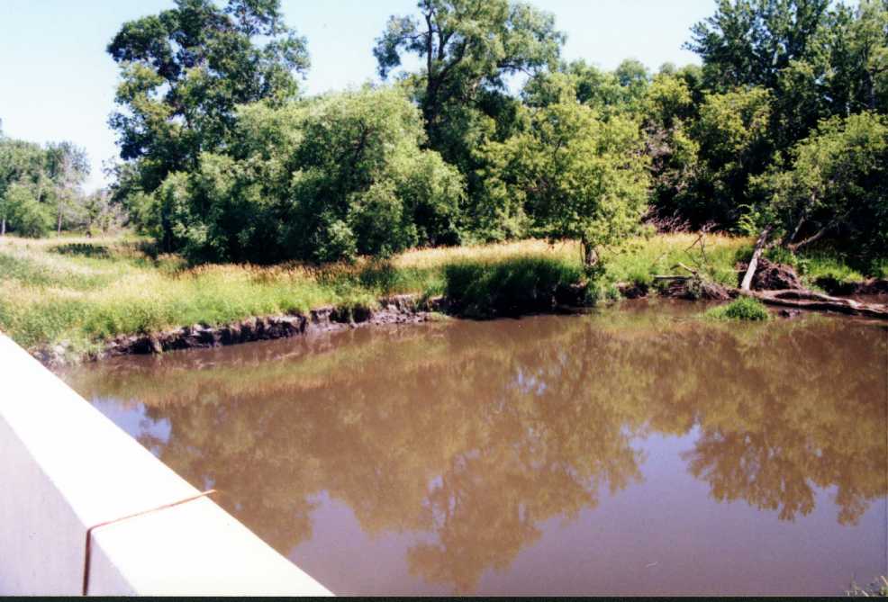
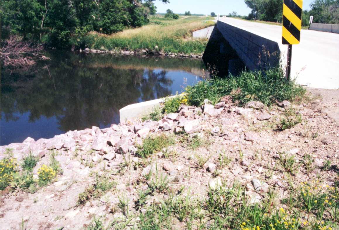
| PDT22-ds-bridge.jpg | Photo along downstream edge of bridge | |||||||||||||
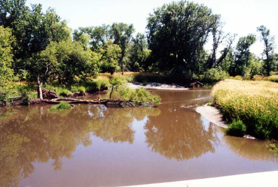
| PDT22-ds-channel.jpg | Photo of main channel downstream | |||||||||||||
| PDT22-ds-lbnk.jpg | Photo of left bank downstream from bridge | |||||||||||||
| PDT22-ds-rbnk.jpg | Photo of right bank downstream from bridge | |||||||||||||
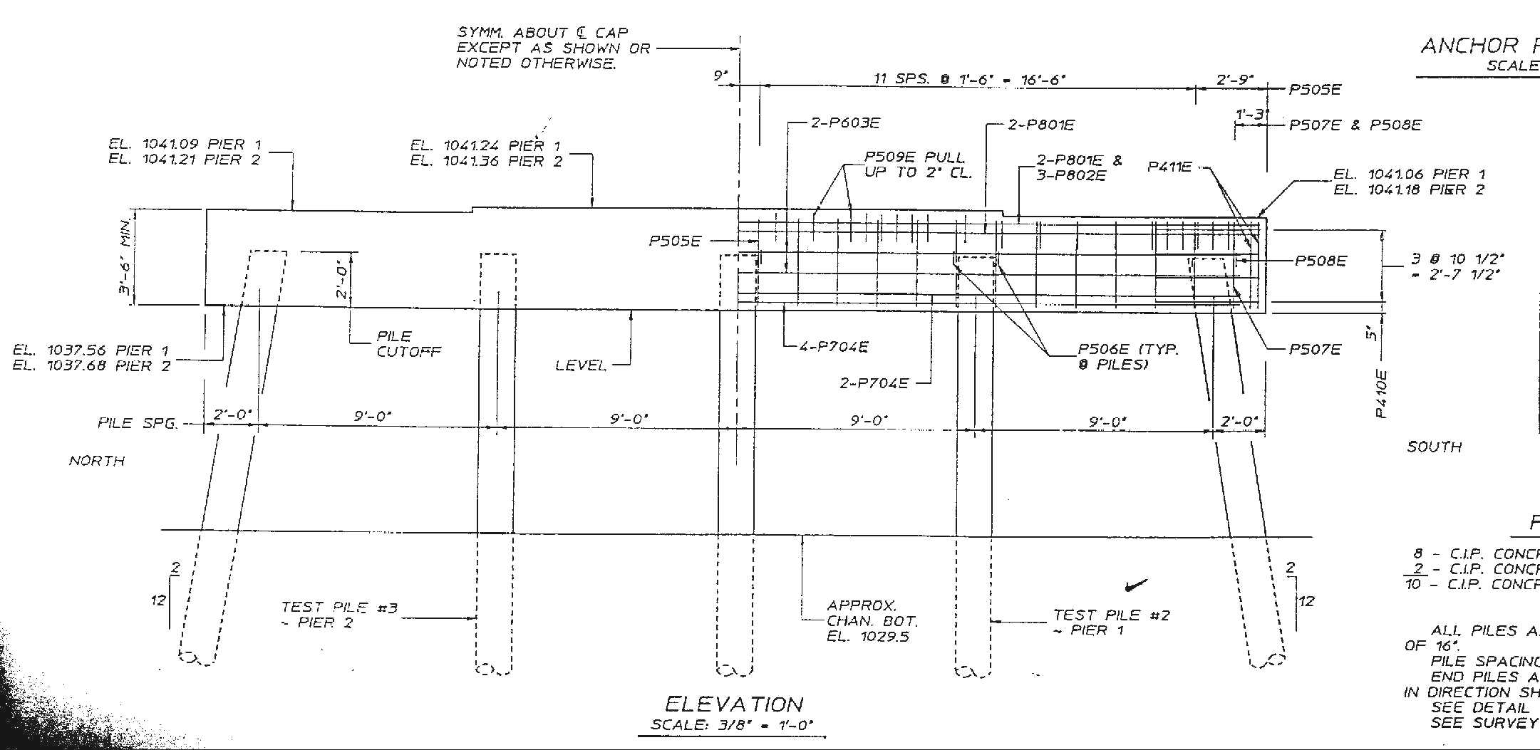
| PDT22-pier-details.jpg | Bridge pier details | |||||||||||||
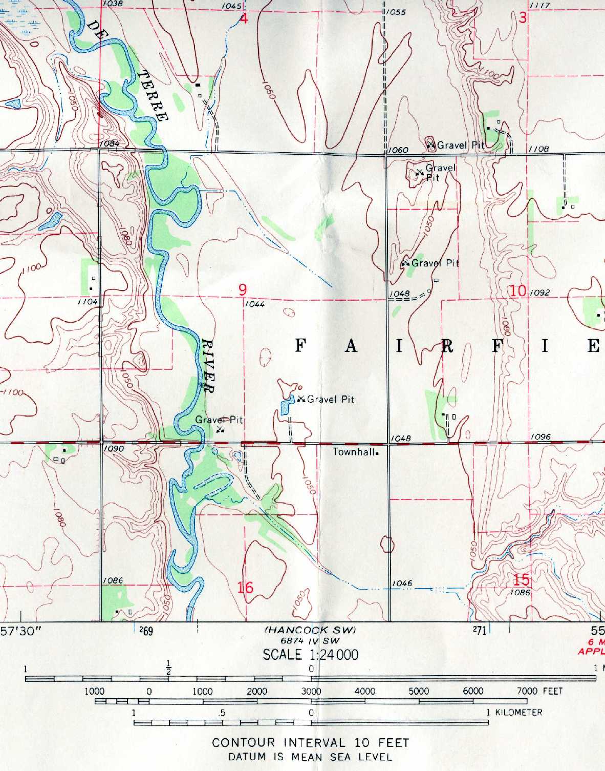
| PDT22-topo.jpg | Scan image of the USGS 24k topo quad showing the CR22 bridge | |||||||||||||
| PDT22-us-bridge.jpg | Photo along upstream edge of bridge | |||||||||||||
| PDT22_Photos.zip | Photos taken during October, 2001 low-flow survey, description for each is documented in CR22 Site Photos Description.doc Microsoft Word file. | |||||||||||||
| Planview.wmf | File showing the bridge with a sketch of the channel and the locations of the cross sections. Note the location of the cross sections from the bridge plans located 500 ft upstream and downstream are approximate. | |||||||||||||
| All(Site73).zip | All files listed above | |||||||||||||
| Accessibility FOIA Privacy Policies and Notices | |
| U.S. Department of the Interior | U.S. Geological Survey URL: http://water.usgs.gov/osw/techniques/bs/BSDMS/Supporting_Files/Site73.htm Page Contact Information: GS-W_OSW_Webmaster@usgs.gov |
 |