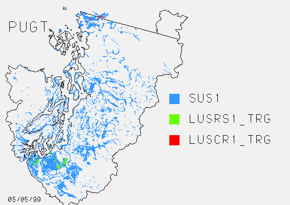
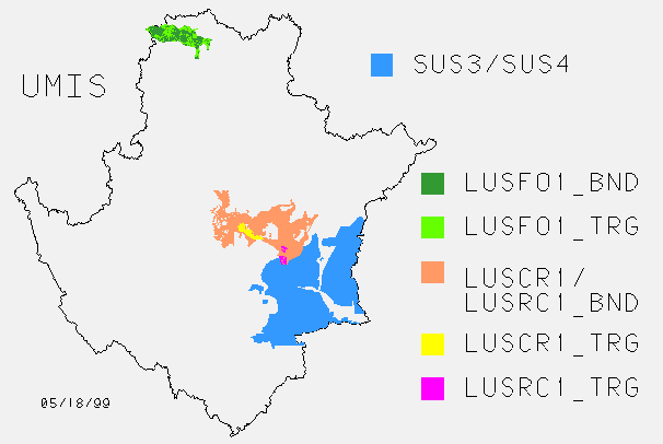
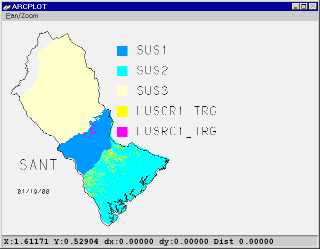
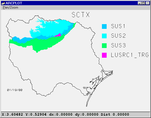
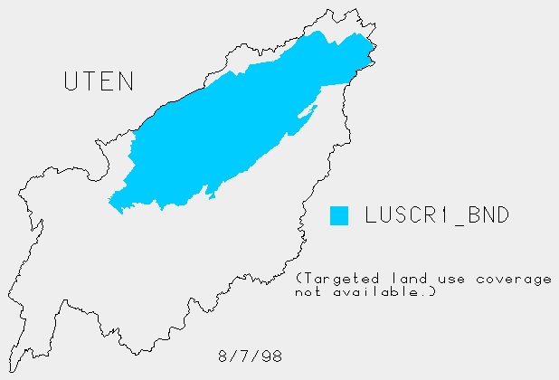
GIS coverages of 1994 study unit LUS and SUS boundaries
March
2001
The FINAL polygon coverages for land use studies (LUS) and study unit
surveys (SUS) submitted by the study units in response to the March 1999
data aggregation are available. See metadata for details:
Text ||
Html.
 The coverages were updated in March 2001 to bring the coverage names
and sucodes more in line with current netcode conventions. One coverage
corresponds to each netcode, which means that some coverages are duplicates
if one boundary represents more than one network.
Quick overview
Here are some screen shots for a quick look at the
coverages submitted.
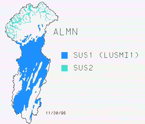
ALMN ||
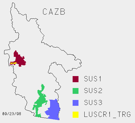
CAZB ||
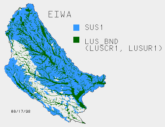
EIWA||
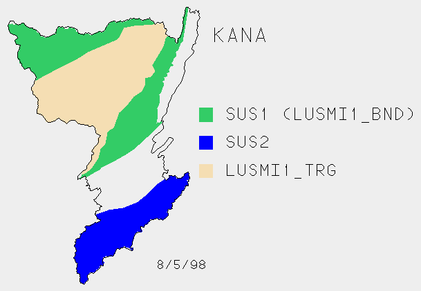
KANA ||
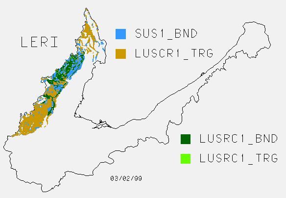
LERI ||
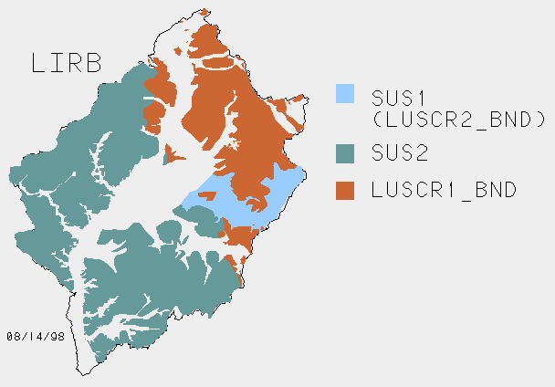
LIRB ||
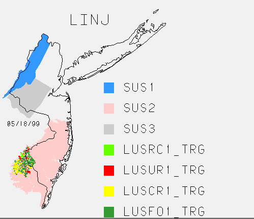
LINJ ||
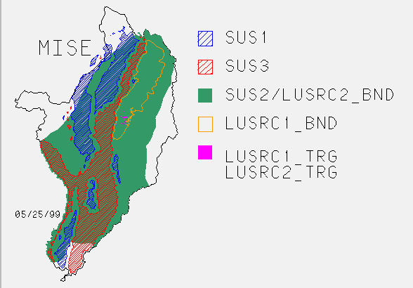
MISE ||
PUGT ||
UMIS |
SANT ||
SCTX ||
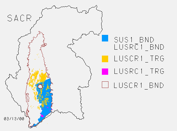
SACR ||
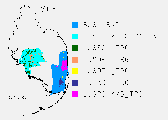
SOFL ||
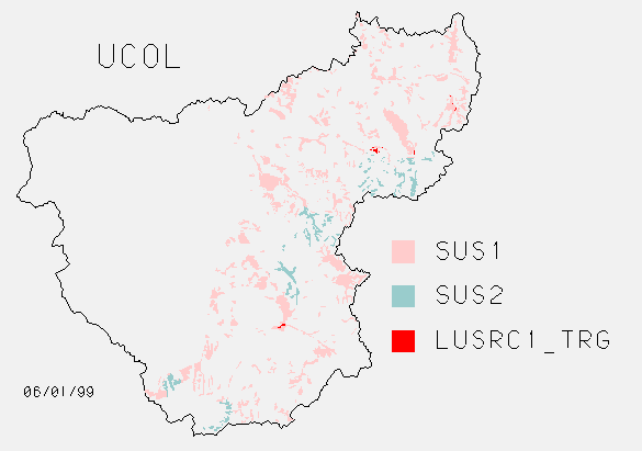
UCOL ||
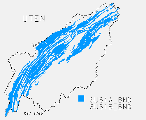
UTEN SUS ||
UTEN LUS
Old Stuff
Postscript plot files (3/10/99) -- These
show each ground water study on a separate map. The maps show the
location of wells in the data base as of October 1998.
91 GW GIS Coverages /nawqa-only/gwgis91.html
94 GW GIS Coverages /nawqa-only/gwgis94b.html
97 GW GIS Coverages /nawqa-only/gwgis97a.html