Spatial Data
NOTE: These are Arc coverages in Arc Interchange format. To download them from your browser, right click and select 'save target as'
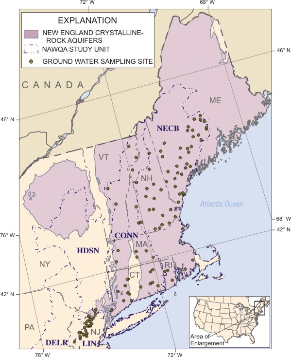
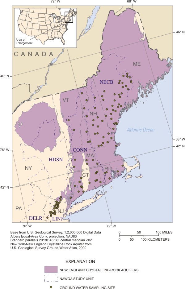
Extent of the New England Crystalline-rock Aquifers (from the Ground Water Atlas)
Neatline around the aquifer extent (for graphics)
Location of sampling sites
Water-Quality Data
Field parameter, major ion, trace element, and nutrient data for analysis of the New England Crystalline-rock aquifers (05-20-2005). Metadata about this dataset
VOC, radionuclide, stable isoptope, dissolved organic carbon data for analysis of the New England Crystalline-rock aquifers (05-20-2005). Metadata about this dataset
Pesticides data for analysis of the New England Crystalline-rock aquifers (05-20-2005). Metadata about this dataset
Detailed well info including primary water use, well depth, open interval top and bottom, casing diameter, lithology, water level, specific capacity, drawdown, discharge, discharge method, water level produced, depth to top and bottom of lithologic unit, and lithologic unit ID for analysis of the New England Crystalline-rock Aquifers (05-20-2005). Metadata about this dataset
|