|
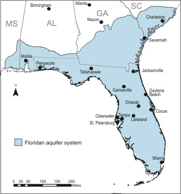
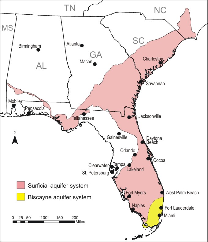
The Floridan aquifer system is one of the most productive aquifers in the world. The aquifer system underlies a total area of about 100,000 square miles in southern Alabama , southeastern Georgia , southern South Carolina , and all of Florida . The Floridan aquifer system is composed of a thick sequence of carbonate rocks (limestone and dolomite) of Tertiary age ranging from late Paleocene to early Miocene and is overlain in most areas by the surficial aquifer system.
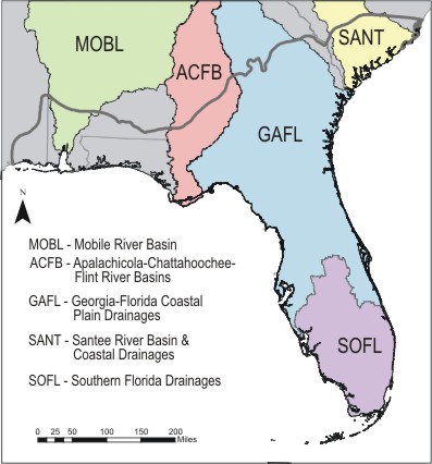
Several study units overlie the Floridan aquifer system, including the Apalachicola-Chattahoochee-Flint, Georgia-Florida Coastal Plain, Mobile River and Tributaries, Santee Basin , and Southern Florida
Bibliography
Hydrogeology of the Aquifer -- Ground Water Atlas of the United States
|
Extent of Floridan aquifer system
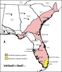
Extent of Surficial and Biscayne aquifer systems
|