Spatial Data
NOTE: These are Arc coverages in Arc Interchange format. To download them from your browser, right click and select 'save target as'
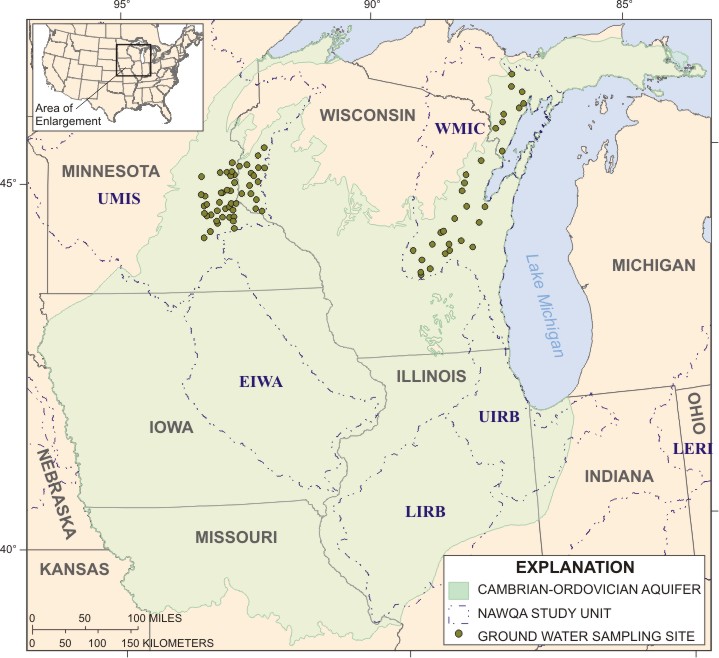
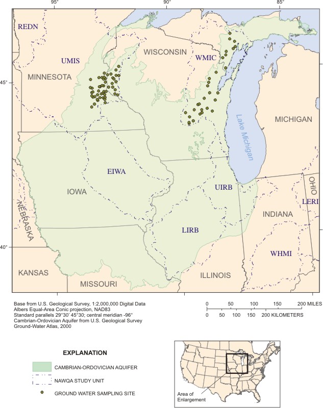
Updated extent of the Cambrian-Ordovician Aquifer (modified from the Ground Water Atlas and state geologic maps)
Neatline around the aquifer extent (for graphics)
Location of selected sampling sites
Spatial data prepared by Les Arihood, John Wilson, and Moon Kim
Brief description of data sets
Roads
States
Streams
Bedrock geology
Cambrian-Ordovician aquifer extent where near surface or buried geology
Major ions and nutrients
Pesticide schedules 2010 | 2033 | 2050 | 2060
Volatile organic compounds
QW data from RASA prof paper 1405-D (major inorgans, field params, isotope ratios, trace elem, arsenic, uranium, and radium226)
Water-Quality Data
Field parameter, major ion, trace element, and nutrient data for analysis of the Cambrian-Ordovician Principal Aquifer (05-20-2005). Metadata about this dataset
VOC, radionuclide, stable isotope, dissolved organic carbon data for analysis of the Cambrian-Ordovician Principal Aquifer (05-20-2005). Metadata about this dataset
Pesticides data for analysis of the Cambrian-Ordovician Principal Aquifer (05-20-2005). Metadata about this dataset
Detailed well info including primary water use, well depth, open interval top and bottom, casing diameter, lithology, water level, specific capacity, drawdown, discharge, discharge method, water level produced, depth to top and bottom of lithologic unit, and lithologic unit ID for analysis of the Cambrian-Ordovician Principal Aquifer (05-20-2005). Metadata about this dataset
|