Water Resources of the United States
The USGS provides practical, unbiased information about the Nation's rivers and streams that is crucial in mitigating hazards associated with floods. This site provides information about the USGS activities, data, and services provided during regional high-flow events, such as hurricanes or multi-state flooding events. The USGS response to these events is typically managed by the National Floods Specialist.
What is this program? The USGS has developed a mobile network of rapidly, deployable experimental instruments with which to observe and document hurricane-induced storm-surge domes as they make landfall and interact with coastal features.
Why are we undertaking this work? The work will enable us to compile data so that we can quantify storm-surge dynamics (wave heights, forces, speeds, and extent) for various storm conditions, topographies, ecologies, built environments, and landuses. This information will lead to better storm-surge models, more accurate flood forecasts, more effective flood-protection infrastructure, and wiser landuse policies.
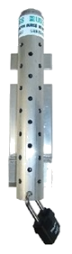
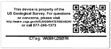
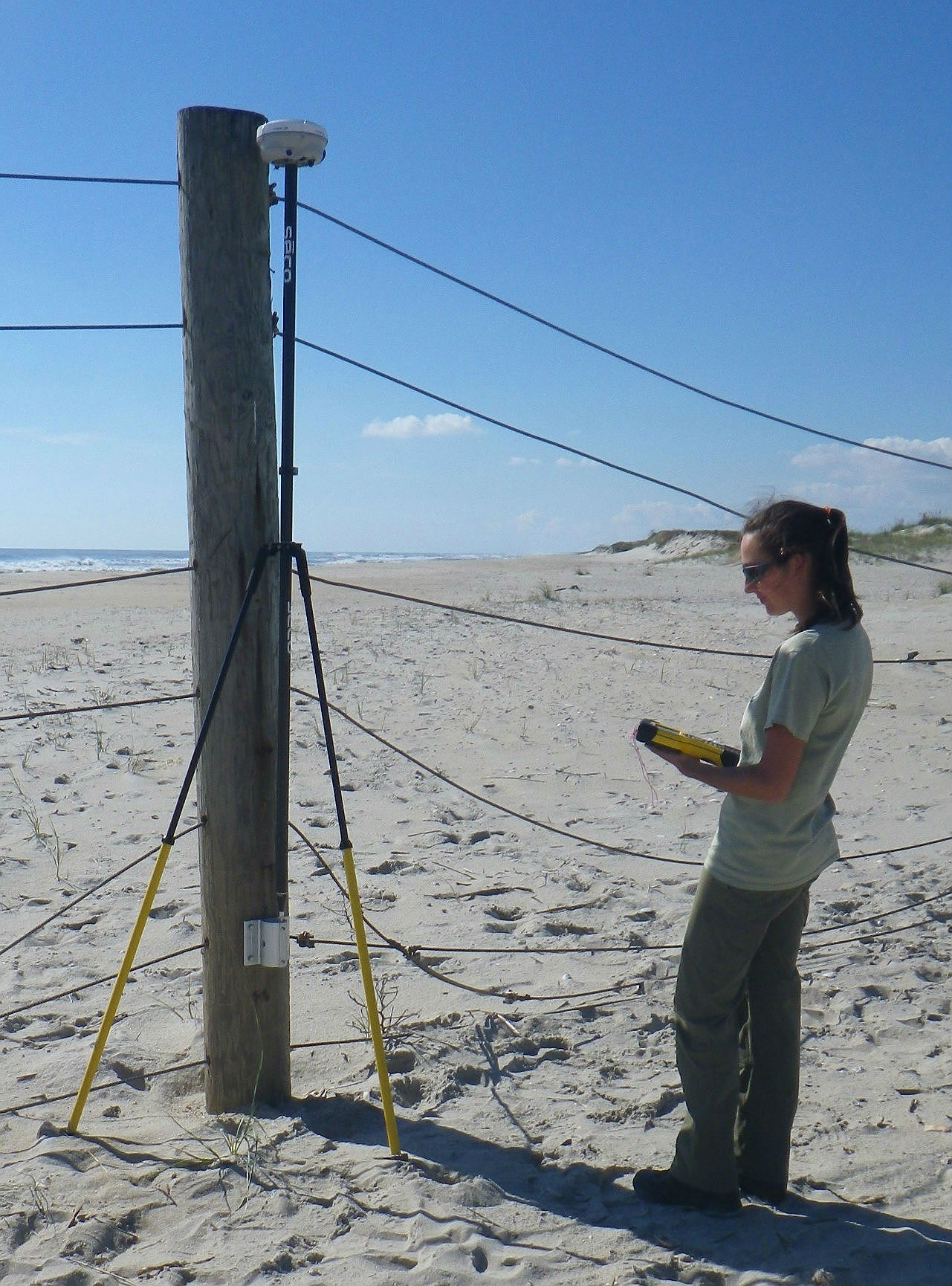
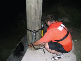
What is the nature of the work? Water-level sensors (non-vented pressure transducers) are strapped to bridge piers (picture A), power and light poles, and other structures along and inland of the coast about 50 miles left and 100 miles right of the projected path of hurricane landfall. The effort involves 6 to 10 2-person teams that deploy the instruments 24 to 48 hours prior to landfall.
What type of data do the sensors collect? Water-level and barometric pressure are recorded every 30 seconds for most sites. Sensors located on beaches record wave height every 2 seconds. The recording period lasts for 1 to 3 days depending on the magnitude of the storm and post-storm access to the sensor sites.
What are we going to do with the data? Data are uploaded to the web as stage and pressure time series. The primary purpose of the data are to facilitate development and calibration of surge forecast models, generally by otheragencies such as the U.S. Corps of Engineers (USCOE) and the National Ocean and Atmospheric Administration (NOAA). The USGS generates various graphics of water-surface elevations and maps. Together they enable us to study surge flooding, including wave height, and moment by moment, visualize its interaction with the coastal features such as beaches, islands, estuaries, and streams (Berenbrock, 2008). By tying these data together and with local topography, we can determine the rates at which flood waters transverse various water bodies and landforms, the major paths of penetration, their duration, and the height and frequency of waves that strike dunes and built infrastructure.
Data of this nature is quite rare and very valuable for determination of flood insurance maps, building codes, and for calibration of the hurricane inundation models. Accurate model forecasts are critical for community preparation of storm response and evacuation plans.
What other kinds of data are needed? There are several kinds of data that would compliment this work and for which we seek collaborators. These include offshore water-level and wave-height data, wind speed and direction, inland water salinity, post-storm ecological assessments, and geological evaluations of beach and landform behavior, and engineering evaluations.
Who are your collaborators? We are collaborating with the NOAA, National Weather Service (NWS) and National Hurricane Center (NHC), the U.S. Army Engineer Research and Development Center (ERDC), the Federal Emergency Management Agency (FEMA).
How can I obtain storm-tide data? Storm-tide data are available for Hurricanes Rita, Wilma, and Ike through USGS Data Series.