The USGS Water Science School
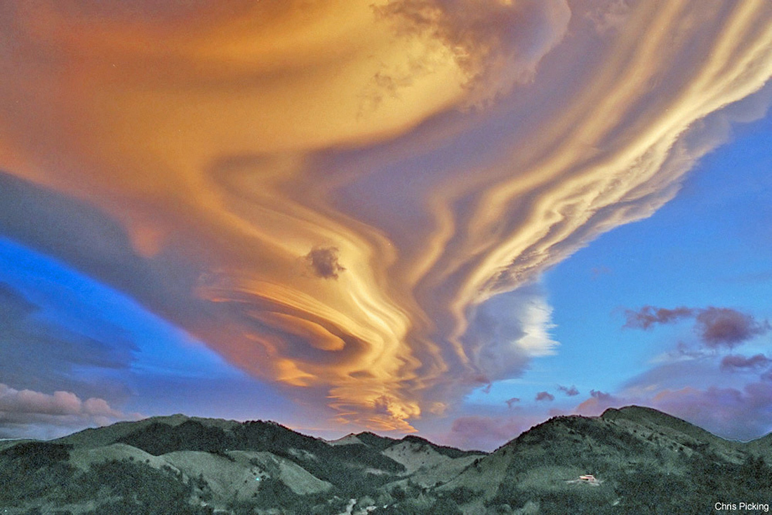
This picture shows a lenticular cloud over the Tararua Range mountains, North Island, New Zealand. What's happening above those mountains? Several clouds are stacked up into one striking lenticular cloud. Normally, air moves much more horizontally than it does vertically. Sometimes, however, such as when wind comes off of a mountain or a hill, relatively strong vertical oscillations take place as the air stabilizes. The dry air at the top of an oscillation may be quite stratified in moisture content, and hence forms clouds at each layer where the air saturates with moisture. The result can be a lenticular cloud with a strongly layered appearance.
![]() Back to The water cycle: Precipitation | Condensation | Atmosphere
Back to The water cycle: Precipitation | Condensation | Atmosphere

Credit and copyright: Chris Picking (Starry Night Skies Photography).