USGS Groundwater Information
USGS Monthly Groundwater News and Highlights: February 3, 2020Subscribe to get the latest USGS groundwater news and science sent to your inbox every month! Feature: Groundwater Connectivity of Depressional WetlandsWetlands exist in climates and landscapes that cause groundwater to discharge to the land surface, or that prevent rapid drainage of water from the land surface. The hydrology and chemistry of wetlands is complex -- they can receive groundwater inflow, or provide recharge to groundwater, or both. Understanding these complexities is important to the overall management of water availability. A recent USGS study uses the hydrologic landscapes theoretical framework and numerical modeling to develop broadly applicable conceptual knowledge of depressional-wetland hydrologic connectivity and describe the predicted location, connectivity, likelihood of permanence and of spillover of wetlands. Depressional wetlands typically are determined by landforms and the slope of the adjacent water table. However, this study also identified certain arrangements of landforms that caused the water table to fall sharply and not follow the surface contour. Understanding all the nuances of landscape-scale connectivity will likely never be possible, but this analysis is an important step in that direction. One role of this research regarding the groundwater connectivity of wetlands is to provide a basis to develop tools and guidance needed by decision makers. Future research can help shrink the remaining gap. ![[ Summary Table showing conceptual models of general patterns of wetland connectivity. Refer to article Table 3 for complete description. ]](images/feature/202002_Neff_Table3_1160.jpg "Summary of general patterns of wetland connectivity")
Summary of general patterns of wetland connectivity. Source: Table 3, Neff and others, 2019. 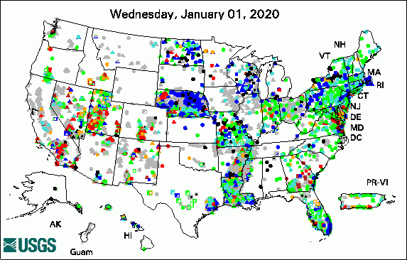 
The USGS Active Groundwater Level Network includes about 20,000 wells that have been measured by the USGS or USGS cooperators at least once within the past 13 months. The animation shows a daily snapshot of water-level statistics in the network for January 2020. Credit: USGS. The image is in the public domain. USGS Groundwater-Related PublicationsNumerical simulation of groundwater availability in central Moloka'i, Hawai'i (01/31/20) High-resolution airborne geophysical survey of the Shellmound, Mississippi area (01/17/20) Hydrogeologic framework of the Treasure Valley and surrounding area, Idaho and Oregon (01/17/20) USGS Groundwater Flow and Transport Model Data ReleasesMODFLOW-2005 model used to evaluate water-management scenarios for the Mississippi Delta Field PhotoEver wondered about how groundwater observation wells are drilled? This photo provides a behind-the-scenes look as USGS drilled a groundwater well in California last month. This photo looks down over a mud tank and shakers, which are part of drilling operations. The drillers pump clean mud from the tank down the hole as they drill; this mud plays an important role in lubricating the drill bit, carrying larger bits of rock (cuttings) back out of the hole, and more. When the mud is pumped back out of the hole, the shaker vibrates the mud to separate out cuttings so that the mud can continue to be circulated through the well. ![[ Photo of complex equipment on mud tank, including pipes, shaker screens, and other mud-spattered equipment. ]](images/field/202002_SantaMonica_mud-tank-shakers_Jan2020_1160.jpg "Photo of top of mud tank with shakers.")
Credit: USGS/Nicole Fenton. Photo is in the public domain. Click on photo for larger version. Archive of Past Highlights: |
![]() U.S. Department of the Interior |
U.S. Geological Survey
U.S. Department of the Interior |
U.S. Geological Survey
URL: http://water.usgs.gov/ogw/highlights/2020-02-01.html
Page Contact Information: Contact the USGS Office of Groundwater
Page Last Modified: Tuesday, 04-Feb-2020 18:26:27 EST
