
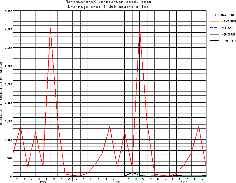
USGS Station 08134000
NORTH CONCHO RIVER NEAR CARLSBAD, TX
COLORADO RIVER BASIN
Latitude: 31^35'33";
Longitude: 100^38'12"
Hydrologic Unit Code: 12090104
Drainage area: 1,266 square miles, of which 75.1 mi2 probably is noncontributing.
Additional information is available
about this station.
Use these links to retrieve
Table of Current Streamflow conditions, or
tab-separated ASCII file of monthly data.
Return to the USGS National Water Conditions Report
Table of Contents
URL for this page is <URL="http://water.usgs.gov/nwc/NWC/sw/graphs/S08134000.html">
Please send suggestions, comments, and (or) questions, to
kvsarma@usgs.gov