USGS Groundwater Newsletter
USGS Monthly Groundwater News and Highlights: July 1, 2020Subscribe to get the latest USGS groundwater news and science sent to your inbox every month! Feature: Updating Data Inputs, Assessing Trends, and Evaluating a Method to Estimate Probable High Groundwater Levels in Selected Areas of MassachusettsThe USGS, in cooperation with the Massachusetts Department of Environmental Protection, conducted an update to the Frimpter method for estimating the probable high groundwater levels in Massachusetts. This method is used to inform decisions and policies about selection of suitable sites for an unmounded septic system in terms of annual groundwater-level range. ![[Schematic diagram of method for estimating probable high groundwater levels ]](images/feature/2020-07_Fig1_sir20205036_1160.png "Method for estimating probable high groundwater levels")
Figure: Schematic overview of the method for estimating probable high groundwater levels at A, a well in Massachusetts from B, an index well; the method is commonly referred to as the Frimpter method. Source: Figure 1, Barclay and others, 2020. 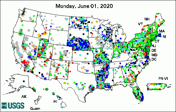 
The USGS Active Groundwater Level Network includes about 20,000 wells that have been measured by the USGS or USGS cooperators at least once within the past 13 months. The animation shows a daily snapshot of water-level statistics in the network for June 2020. Credit: USGS. The image is in the public domain. USGS Groundwater-Related Publications
Featured Map: 2015 Groundwater WithdrawalsStarting this month, we are featuring a groundwater map in each newsletter. This month's featured map presents estimated U.S. groundwater withdrawals by state in 2015. ![[U.S. map with states shaded different colors based on groundwater withdrawal amounts. Refer to Dieter and others, 2018, for data.]](images/map/2020-07_2015WatUse_fig03_GW_0.png "2015 Groundwater Withdrawals")
Source: Image. Report: Dieter and others, 2018 Credit: USGS. Image is in the public domain. Field PhotoEach summer, interns join USGS offices around the Nation in support of our water studies. In this photo, USGS intern Kira Waldman conducts field work in June 2019 as part of a long-term study near Bemidji, Minnesota, to understand mobilization, transport, and fate of crude oil in the shallow subsurface. Kira is pushing a sample screen into lake bottom sediments to collect a sample of pore water from below the lake bed to help us understand how contaminants may be migrating from an historical oil release into the lake. Kira's internship at USGS was supported by the Middlebury College Center for Careers and Internships. ![[Photo of scientist standing in water operating equipment next to a boat]](images/field/2020-07_Bemidji2019-Waldman_IMG_1205.JPG "Scientist collecting water samples")
Credit: USGS/Barbara Bekins. Photo is in the public domain. Click on photo for larger version. Water Quality and COVID-19For the latest federal guidance on water quality and COVID-19, please refer to:
USGS priority is to continue the important work of the Department of the Interior and the USGS, while also maintaining the health and safety of our employees and community. Based on guidance from the White House, the CDC, and state and local authorities, we have shifted our operations to a virtual mode and have minimal staffing within our offices. These changes have also impacted recent and planned field work and field data collection activities. Archive of Past Highlights: |
![]() U.S. Department of the Interior |
U.S. Geological Survey
U.S. Department of the Interior |
U.S. Geological Survey
URL: https://water.usgs.gov/ogw/highlights/2020-07.html
Page Contact Information: Contact the USGS WMA Earth System Processes Division
Page Last Modified: Tuesday, 30-Jun-2020 18:15:05 EDT
