USGS Groundwater Information
USGS Monthly Groundwater News and Highlights: May 1, 2020Subscribe to get the latest USGS groundwater news and science sent to your inbox every month! Feature: Estimated Groundwater Withdrawals from Principal Aquifers in the United States, 2015![[Graph showing withdrawals by cateogry of use. Refer to report for description and numbers. ]](images/feature/2020-05_circ1464_fig2.png "Graph showing withdrawals by cateogry of use.")
Groundwater withdrawals in 2015 by category of use from principal aquifers in five major lithologic groups in the United States. Source: Figure 2, Lovelace and others, 2020. How much groundwater is withdrawn in the United States, and what is it used for? A new USGS report estimates groundwater withdrawals and use in 2015 for the Principal Aquifers of the United States. In 2015 in the United States:
To learn more, download the new report. Water Quality and COVID-19For the latest federal guidance on water quality and COVID-19, please refer to:
USGS priority is to continue the important work of the Department of the Interior and the USGS, while also maintaining the health and safety of our employees and community. Based on guidance from the White House, the CDC, and state and local authorities, we have shifted our operations to a virtual mode and have minimal staffing within our offices. These changes have also impacted recent and planned field work and field data collection activities. 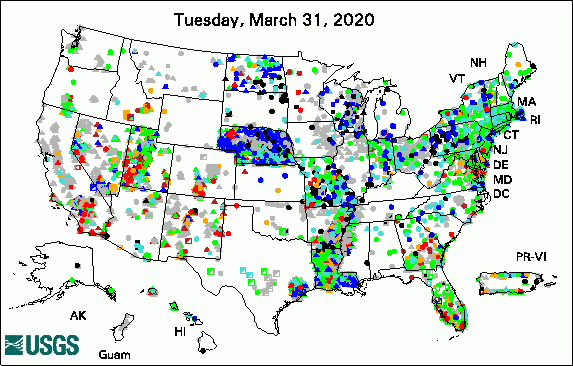 
The USGS Active Groundwater Level Network includes about 20,000 wells that have been measured by the USGS or USGS cooperators at least once within the past 13 months. The animation shows a daily snapshot of water-level statistics in the network for April 2020. Credit: USGS. The image is in the public domain. USGS Groundwater-Related PublicationsThe importance of U.S. Geological Survey water-quality super gages (04/28/20) Estimated groundwater withdrawals from principal aquifers in the United States, 2015 (04/28/20) PFAS in the environment (04/17/20) Passive sampling of groundwater wells for determination of water chemistry (04/16/20) Benthic vertical hydraulic gradients in Upper Klamath Lake, Oregon, 2017 (04/16/20) One-Water Hydrologic Flow Model: A MODFLOW based conjunctive-use simulation software (04/17/20) Groundwater quality in the High Plains Aquifer (04/01/20) Gravity surveys and depth to bedrock in the Truxton basin, northwestern Arizona (04/03/20) Geology and hydrology of the Truxton basin and Hualapai Plateau, northwestern Arizona (04/03/20) Groundwater availability in the Truxton basin, northwestern Arizona (04/06/20)
USGS Groundwater Flow and Transport Model Data ReleasesField PhotoThis month's field photo is a throwback to the past! This photo is of a hydrologist collecting groundwater samples in California in 1917. When Congress created the USGS in 1879, the new organization was made responsible for the scientific "classification of the public lands and examination of the Geological Structure, mineral resources and products of the national domain." Although many people associate the early USGS only with mapping and mining of the West, the USGS was studying groundwater as early as the 1890s! Today, the USGS National Water Information System includes information from more than 900,000 groundwater sites around the Nation. ![[Photo: Hydrologist working at a well]](images/field/2020-05_1917-well-sampling-California.jpg "Hydrologist collects samples from groundwater well, 1917")
Credit: USGS. Photo is in the public domain. Click on photo for larger version. Archive of Past Highlights: |
![]() U.S. Department of the Interior |
U.S. Geological Survey
U.S. Department of the Interior |
U.S. Geological Survey
URL: http://water.usgs.gov/ogw/highlights/2020-05.html
Page Contact Information: Contact the USGS Office of Groundwater
Page Last Modified: Monday, 04-May-2020 13:08:41 EDT
