LOCATION.--Lat 43°00'57.1", long
75°35'39.8" referenced to North American Datum of
1983, Madison County, NY, Hydrologic Unit 04140202, 5 mi south
of Oneida, on Middle Road, at Valley Mills.
WELL CHARACTERISTICS.--Depth 15 ft. Upper casing
diameter 6 in; top of first opening 16 ft, bottom of last
opening 16 ft. Well filled in from original depth of 16 ft,
cased to 16 ft, open end. Elevation of land-surface datum
573.76 ft above NGVD of 1929 and 573.23 ft above NAVD of
1988.
DATUM.--Land-surface datum is 573.23 ft above North
American Vertical Datum of 1988. Measuring point: Top of
shelter shelf, 3.09 ft above land-surface datum, Jun. 25, 2019
to present.
PERIOD OF RECORD.--April 1975 to August 1995, December
1996 to current year. April 1975 to May 1986, digital recorder
at same site and datum. Weekly observer readings May 1986 to
December 1988. Electronic data recorder at same site and datum
December 1988 to February 1991. Periodic measurements with
chalked tape, February 1991 to August 1995 and October 1996 to
February 1997.
REVISIONS HISTORY.--WDR NY-91-3: 1990 water level; WDR
NY-99-3: 1995 water level.
GAGE.--Water-stage recorder--15 minute; periodic
measurements by USGS personnel.
REMARKS.--Well drilled April 1974 as a replacement for
430056075354101 (local number M-177), located 10 ft west, which
had a period of record from October 1965 to September 1973
(unpublished). Satellite water-level telemeter at
station.
EXTREMES FOR PERIOD OF RECORD.--Highest water level,
2.60 ft below land-surface datum, Mar. 5, 1979; lowest water
level measured, 11.19 ft below land-surface datum, Sept. 27,
1995 and Oct. 11-14, 2012.

 Site Information
 WaterAlert – get an
email or text (SMS) alert based on your chosen threshold.
WaterAlert – get an
email or text (SMS) alert based on your chosen threshold.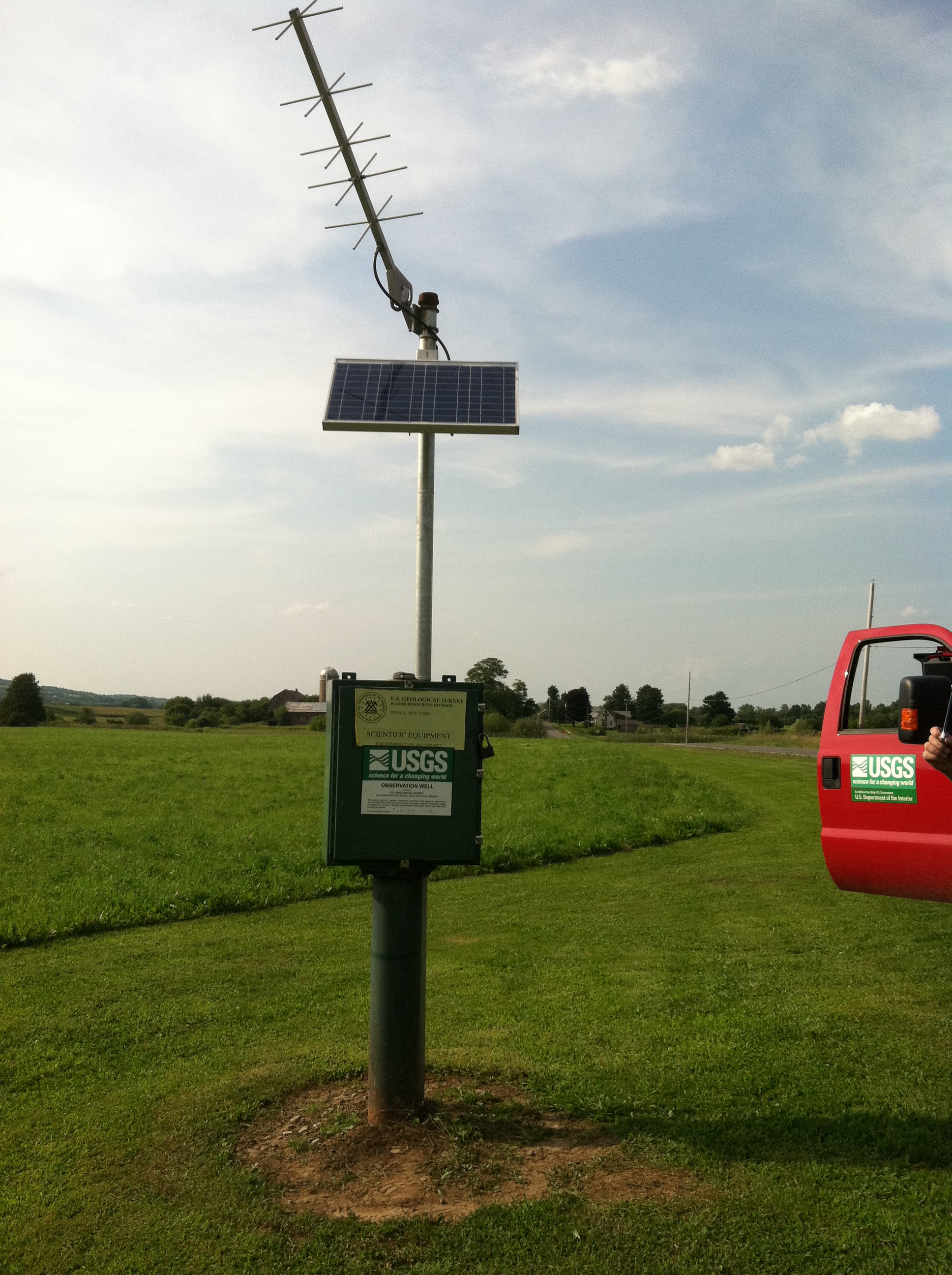 Station image