LOCATION.--Lat 42°43'47", long
76°53'02" referenced to North American Datum of 1983,
Seneca County, NY, Hydrologic Unit 04140201, 0.3 mi east of
intersection of State Highway 96A and Smith Vineyard road, near
Romulus.
WELL CHARACTERISTICS.--Depth 56.6 ft. Upper casing
diameter 2 in; top of first opening 37 ft, bottom of last
opening 56 ft. Cased to 56.6 ft (screen, 37 ft to 56 ft).
DATUM.--Land-surface datum is 627.07 ft above North
American Vertical Datum of 1988. Measuring point: Top of
casing, 1.98 ft above land-surface datum, Jun. 3, 2016 to Aug.
9, 2019; Top of casing, 1.99 ft above land-surface datum, Aug.
9, 2019 to present.
PERIOD OF RECORD.--June 1995 to current year. Records
for June 1995 to March 2004 are unpublished and available in
the files of the Geological Survey.
GAGE.--Water-stage recorder--15 minute; periodic
measurements made by USGS personnel.
REMARKS.--Satellite water-level telemeter at
station.
EXTREMES FOR PERIOD OF RECORD.--Highest water level,
2.04 ft above land-surface datum, Mar. 28, 2015; lowest water
level, 4.94 ft below land-surface datum, Oct. 19, 2020.

 Site Information
 WaterAlert – get an
email or text (SMS) alert based on your chosen threshold.
WaterAlert – get an
email or text (SMS) alert based on your chosen threshold.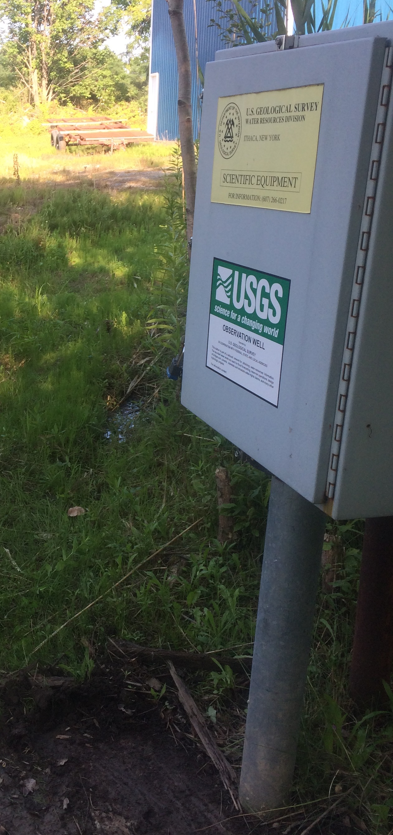 Station image