LOCATION.--Lat 42°15'55.3", long
75°28'14.9" referenced to North American Datum of
1983, Chenango County, NY, Hydrologic Unit 02050101, 400 ft
south of the intersection of County Roads 39 and 12, 0.5 mi
east of the Susquehanna River and 2.0 mi south of
Bainbridge.
WELL CHARACTERISTICS.--Depth 13 ft. Upper casing
diameter 6 in; top of first opening undefined, bottom of last
opening undefined. Cased to 13 ft, open end. Elevation of
land-surface datum is 979.28 ft above NGVD 1929 and 978.87 ft
above NAVD 88.
DATUM.--Land-surface datum is 978.87 ft above North
American Vertical Datum of 1988. Measuring point: Top of
casing, 1.36 ft above land-surface datum, Apr. 4, 2012 to
present; Top of shelter shelf, 1.38 ft above land-surface
datum, May. 15, 2017 to present.
PERIOD OF RECORD.--April 1975 to current year. Records
for April 1975 to September 1976 are unpublished and available
in the files of the U.S. Geological Survey.
GAGE.--Water-stage recorder--15 minute; periodic
measurements by USGS personnel.
REMARKS.--This well drilled April 1974 as a replacement
for 421556075281601 (local number Cn 11), located 90 ft north,
which had a period of record from October 1965 to September
1972 (unpublished). Satellite water-level telemeter at
station.
EXTREMES FOR PERIOD OF RECORD.--Highest water level,
1.23 ft above land-surface datum, June 29, 2006; lowest, 12.22
ft below land-surface datum, Sept. 13, 14, 15, 16, 1999.

 Site Information
 WaterAlert – get an
email or text (SMS) alert based on your chosen threshold.
WaterAlert – get an
email or text (SMS) alert based on your chosen threshold.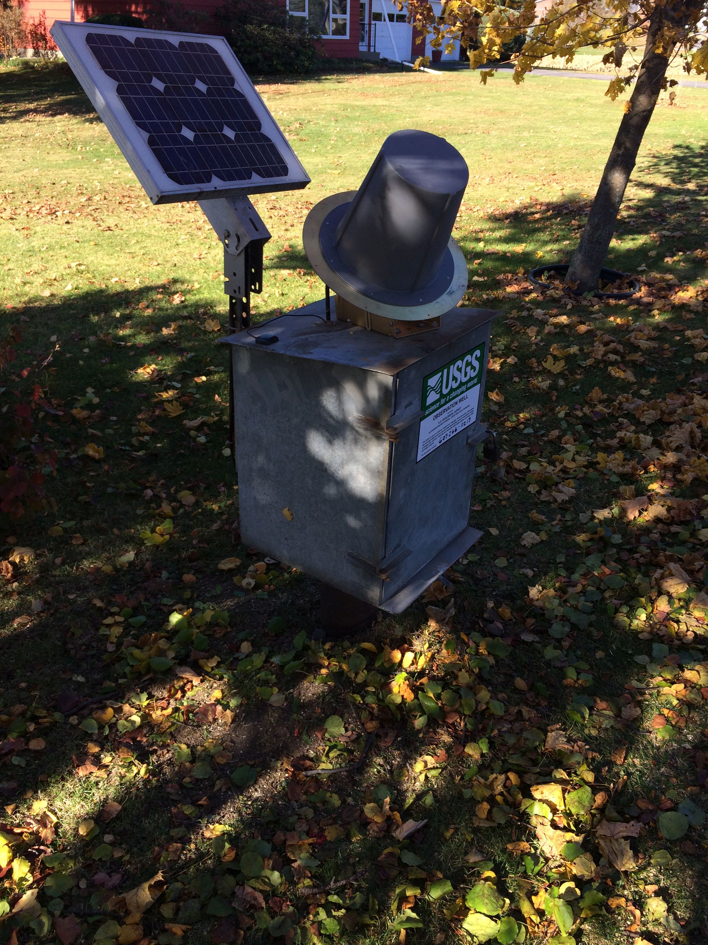 Station image