LOCATION.--Lat 41°45'24.3", long
74°36'04.9" referenced to North American Datum of
1983, Sullivan County, NY, Hydrologic Unit 02040104, at
Woodbourne.
WELL CHARACTERISTICS.--Depth 37 ft. Upper casing
diameter 4 in; top of first opening 37.5 ft, bottom of last
opening 40 ft. Well filled in from original depth of 40 ft,
cased to 37.5 ft, 2-in. well point (screen, 37.5 ft to 40
ft).
DATUM.--Land-surface datum is 1,180.9 ft above North
American Vertical Datum of 1988. Measuring point: Top of
casing, 0.86 ft above land-surface datum, Aug. 1, 2007 to
present; Top of shelter shelf, 3.01 ft above land-surface
datum, Oct. 16, 2018 to present.
PERIOD OF RECORD.--May 2001 to current year.
GAGE.--Water-stage recorder--15 minute; periodic manual
measurements by USGS personnel.
REMARKS.--Satellite water-level telemeter at
station.
EXTREMES FOR PERIOD OF RECORD.--Highest water level,
2.85 ft below land-surface datum, Apr. 3, 4, 2005; lowest water
level, 12.73 ft below land-surface datum, Nov. 30, Dec. 1,
2001.

 Site Information
 WaterAlert – get an
email or text (SMS) alert based on your chosen threshold.
WaterAlert – get an
email or text (SMS) alert based on your chosen threshold.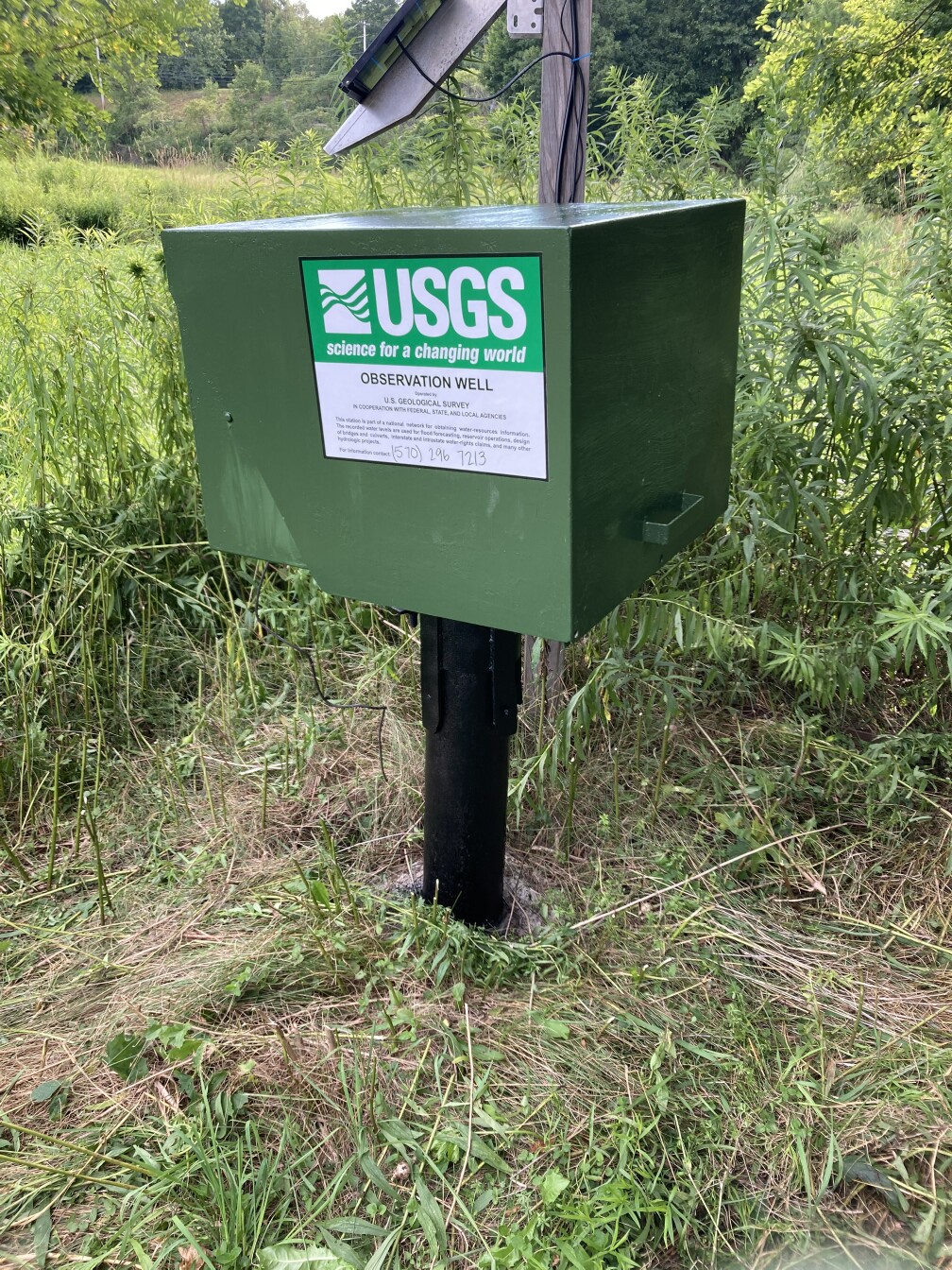 Station image