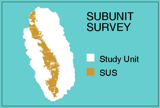
This is an example of a subunit survey (SUS) boundary that represents the
overall boundary for two land use studies (LUS). One of the LUS targets
vineyards and the other LUS targets almonds. The LUS boundaries are within the
overall boundary of the SUS.
This shows the overall boundary of the SUS: the eastern alluvial fans
in the San Joaquin Valley, which also is the overall boundary
for two agricultural land use studies. The SUS would be one _BND coverage
The same polygons would represent the overall boundary of the land use
studies. Three _BND coverages would be necessary to represent all three of the networks.
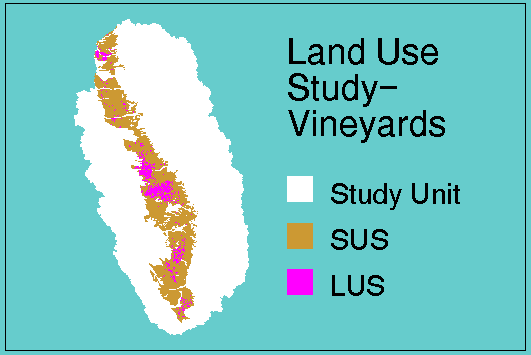
This shows the targeted agricultural land use (vineyards) within the
eastern alluvial fans. This is the intersection of the vineyards land use
with the alluvial fans. Vineyards land use would be a _TRG coverage.
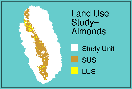
This shows the targeted agricultural land use (almonds) within the
eastern alluvial fans. This is the intersection of the almonds land use
with the alluvial fans. Almonds land use would be another _TRG coverage.
Return to GW GIS Guidelines gwgis2007.html