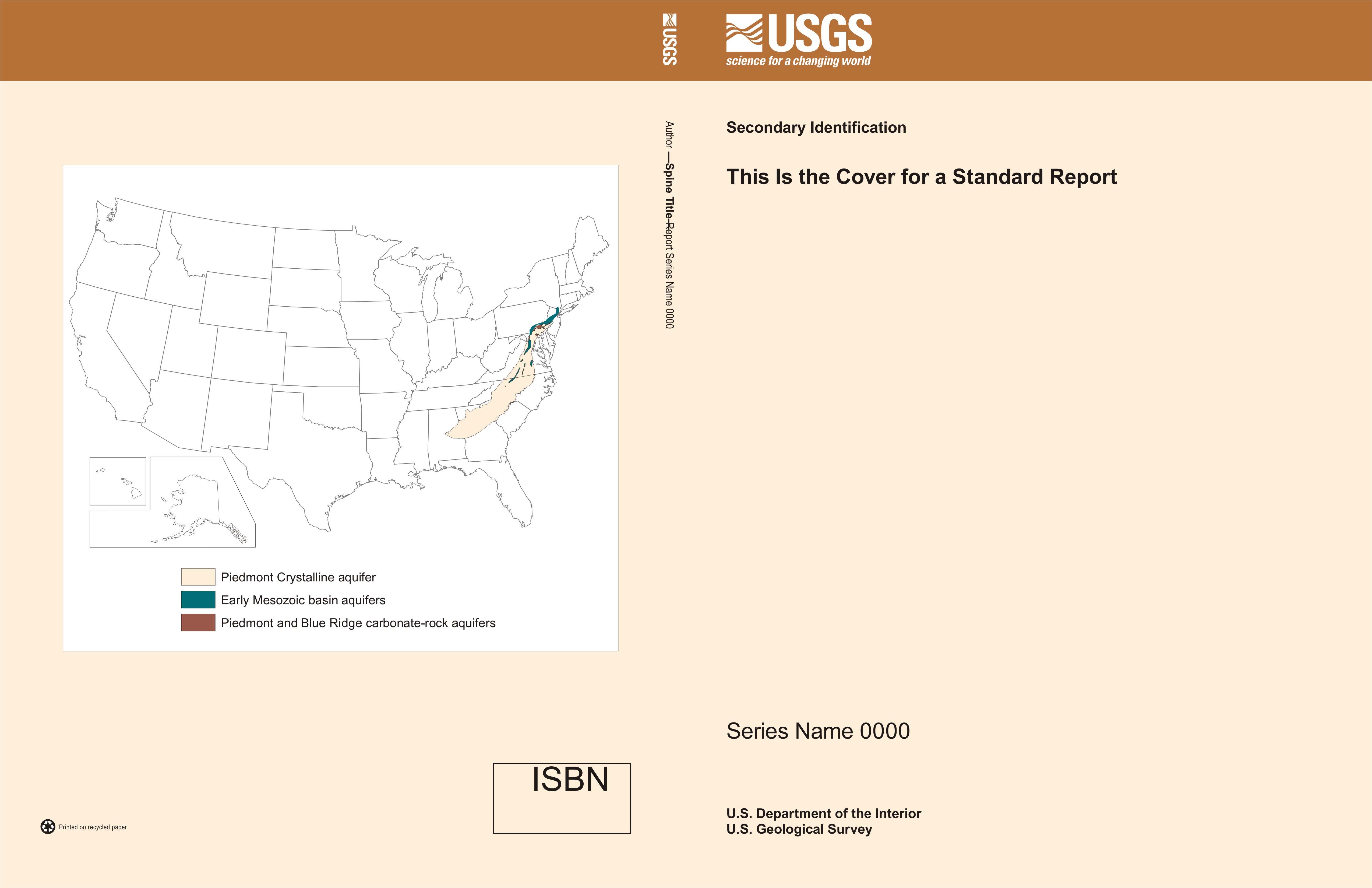
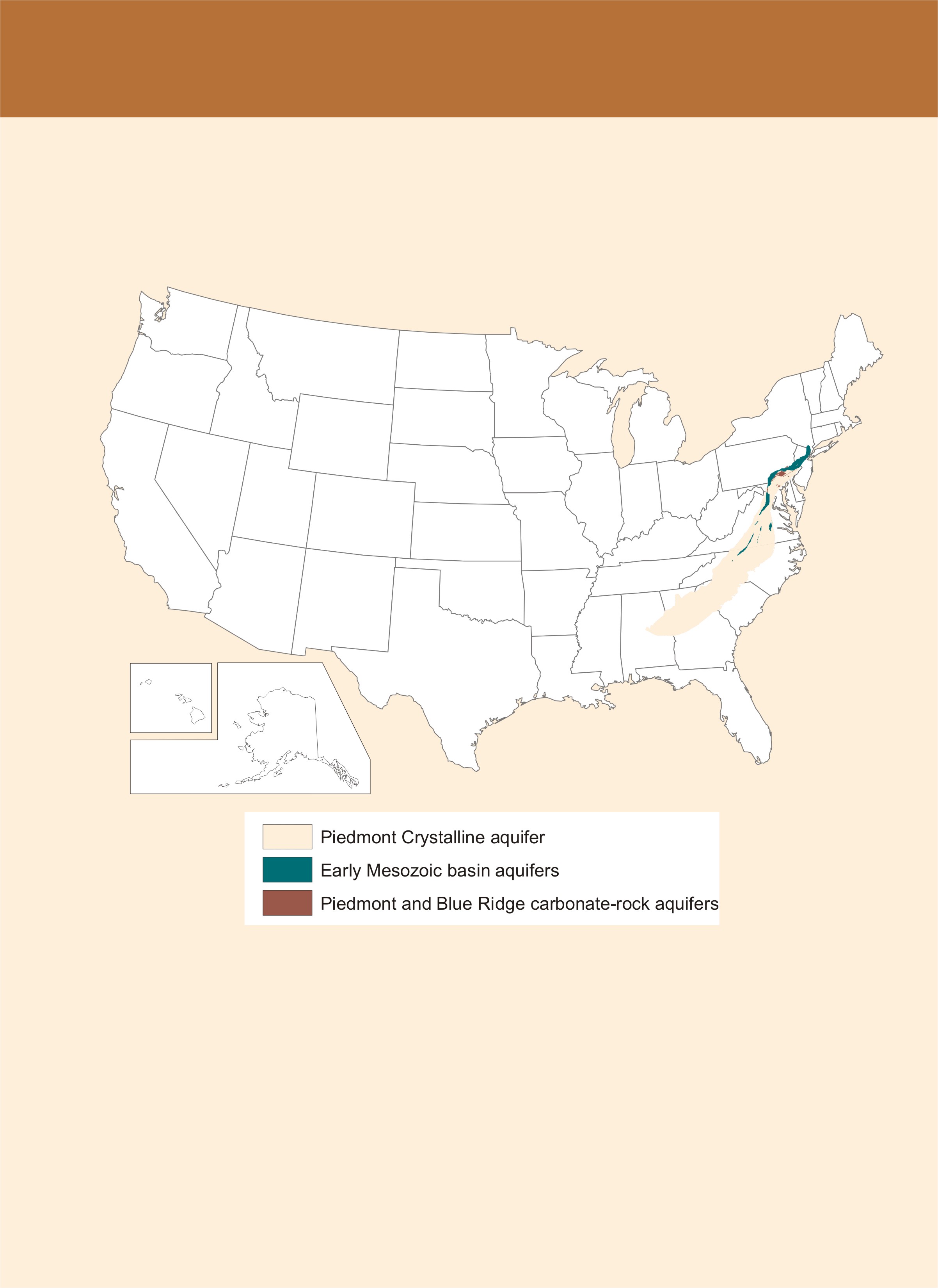
The goal is to have a similar appearance for each report for a Principal Aquifer (PA) using two features: (1) the color of the report cover paper and (2) the inclusion of a map showing the PA or PAs studied on the back page of each report. All reports from the same PA will have the same cover color and back map. In other words, once a cover color and back map option are selected and printed, all subsequent reports will match that selection (within reason).
The front cover is designed by the PA Lead Scientist and report lead author, but, if necessary, the PA Lead Scientist makes the final decision. In cases where a report deals with several PAs of differing lithologic types, the PA Lead Scientist decides what PA color or combination of colors to use following the general guidance.
The back cover map will show the true areal extent of the PA or PAs discussed in the report. The principal aquifer will be shown using the same color that was used for the USGS OGW Principal Aquifer map. (For example: for a report about the Cambrian-Ordovician aquifer system, the map on the back cover would show the Cambrian-Ordovician aquifer in the defined yellow-green color (cmyk 25 0 50 0)). This way we will follow the OGW lead for principal-aquifer organizational framework at the national scale.
You have a couple choices in the format of the cover ( NOTE: You can use colored (dyed) paper or you can print the color as part of the cover artwork.)
|