
Water Resources of the United States
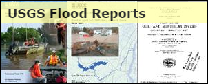 Visit the USGS Flood Reports page for floods dating back over 100 years.
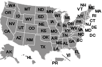
Click the map above to visit a State-specific flood page (if available), or check out one of these State flood databases:
The USGS provides practical, unbiased information about the Nation's rivers and streams that is crucial in mitigating hazards associated with floods. This site provides information about the USGS activities, data, and services provided during regional high-flow events, such as hurricanes or multi-state flooding events. The USGS response to these events is typically managed by the National Floods Specialist.
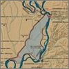
The USGS initiated a substantial effort in the summer of 2011 to measure and document the record-setting floods of the Mississippi and Ohio Rivers, including the reach in and near the New Madrid Floodway. The activation of the floodway, which had not occurred since 1937, provided a rare opportunity to collect a unique dataset describing a flood wave downstream from a levee breach as well as the flow through a large floodway.
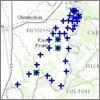 |
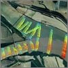
New Madrid Floodway stage sensor data |
 |
 |
Streamflow Measurements near the New Madrid Floodway |
|
 |
Mississippi and Ohio Confluence Velocity Maps |
|
 |
Water quality measurements(Note: not included in this chapter of the report but posted here for convenience.) |
|
For questions related to this site or to contribute content, please email Todd Koenig or Bob Holmes at the USGS Office of Surface Water.