
Use Cases
Dockerized Deployment of Data Services Through Pygeoapi
Keywords: pygeoapi
Domain: Domain Agnostic
Language: API
Description:
Using Pygeoapi to distribute custom analysis-ready data services to the public.
Dockerized Deployment of Custom Data Services Through Pygeoapi
Introduction/Background:
The Water Mission Area division of the USGS has numerous projects that are creating analysis-ready data for consumption by other scientists and the general public. Our team needed a way to make analysis-ready data available as custom geoprocessing services. The complex, geographical nature of our data and services seemed to fit well in a customizable Python server environment. We decided to use the open source Python server implementation
Pygeoapi
as our engine, along with custom-made service endpoints.
Implementation:
The NHGF team practices setting up all enterprise solutions as IAC (Infrastructure as Code). Our implementation uses
Docker
to manage the Pygeoapi environment. We deploy our Dockerized Pygeoapi using CDK (Amazon’s Cloud Development Kit) along with GitLab’s CI/CD deploy pipeline, where it is hosted in a cluster. The Pygeoapi project is developed and maintained by the open source geospatial community. Our team uses the pygeoapi code base and builds in a templated method of publishing additional custom API (Application Programming Interface) endpoints. This templated approach allows USGS software specialists to easily add any number of new custom API endpoints. Our CI/CD deployment process also ensures we stay up-to-date with the latest stable version of Pygeoapi. Our production Pygeoapi is at:
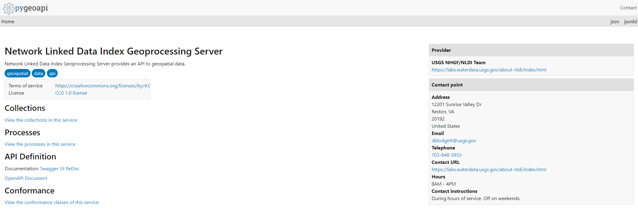
https://api.water.usgs.gov/nldi/pygeoapi
Our custom, analysis-ready data processing endpoints (NLDI Flow Trace process, NLDI Split Catchment process, NLDI xsatendpts process, and NLDI xsatpoint process) are
here
.