
Welcome to the Water Resources Mission Area integrated data and tools catalog!
What does this catalog do?
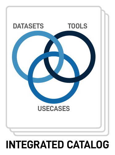
The catalog is an online platform that allows modelers and researchers to explore and share datasets, tools and services, and use cases used by Water Resources Mission Area (WMA) projects to advance water science activities. The use cases demonstrate how WMA projects are using tools and datasets in a reproducible and consistent manner, enabling their use in models or other forms of analysis. The goal is to have an integrated catalog where most datasets are linked to the tools that can be used with them and tools are linked to applicable datasets where appropriate.
Why was this catalog created?
The Water Mission Area (WMA) previously did not have a public catalog of datasets, compatible tools, and use cases that were being actively used in WMA projects. This led to data, tools, and workflow resources being disseminated through ad-hoc means. To address this gap, the catalog was developed to act as a central location for sharing and discovery. The catalog also helps promote an integrated approach to data management within WMA projects by providing consistent, documented, and reproducible workflows and by serving as a searchable endpoint for products at the end of the USGS Science Data Lifecycle .
Who is the audience for this tool?
- USGS management and science teams as well as their collaborators
- WMA Project managers mining USGS water information for Data Management Plans
- USGS researchers wanting to explore what data and tools are in use by WMA projects
- People wondering what data and tools USGS researchers and modelers are using in WMA projects
How do I get started?
The catalog is comprised of three resource types or facets: datasets , tools and services , and use cases . Each facet is represented first in a filterable table view for a comprehensive list of actively used resources. Click on a row of interest and it will return a page that includes detailed information about the resource.
About the beta version
While in the beta phase, we are soliciting ideas on how to improve the catalog and new content that would be of value to include. Currently the content included in the catalog is only a snapshot of datasets, tools and services, and use cases actively being used by WMA project. The plan is to expand what is available in the catalog to include a larger precentage of resources in use by WMA projects. See our feedback page for more details.