
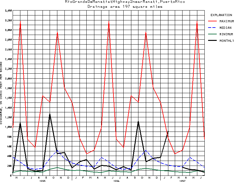
USGS Station 50038100
RIO GRANDE DE MANATI AT HIGHWAY 2 NEAR MANATI, PR
RIO GRANDE DE MANATI BASIN
Latitude: 18^25'52";
Longitude: 66^31'37"
Hydrologic Unit Code: 21010002
Drainage area: 197 square miles (510 km2), approximately, of which about 38 mi2 (98 km2) is partly or entirely noncontributing, excludes 6.0 mi2 (15.5 km2) upstream from Lago El Guineo and Lago de Matrullas.
Additional information is available
about this station.
Use these links to retrieve
Table of Current Streamflow conditions, or
tab-separated ASCII file of monthly data.
Return to the USGS National Water Conditions Report
Table of Contents
URL for this page is <URL="http://water.usgs.gov/nwc/NWC/sw/graphs/S50038100.html">
Please send suggestions, comments, and (or) questions, to
kvsarma@usgs.gov