
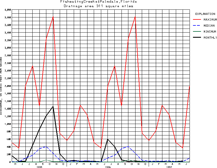
USGS Station 02256500
FISHEATING CREEK AT PALMDALE, FL
(National stream-quality accounting network station)
SOUTH FLORIDA FISHEATING CREEK BASIN AND INFLOW TO LAKE OKEECHOBEE FROM NORTHWEST
Latitude: 26^55'56";
Longitude: 81^18'54"
Hydrologic Unit Code: 03090103
Drainage area: 311 square miles.
Additional information is available
about this station.
Use these links to retrieve
Table of Current Streamflow conditions, or
tab-separated ASCII file of monthly data.
Return to the USGS National Water Conditions Report
Table of Contents
URL for this page is <URL="http://water.usgs.gov/nwc/NWC/sw/graphs/S02256500.html">
Please send suggestions, comments, and (or) questions, to
kvsarma@usgs.gov